Transport Functions
Multimodal
Hub Profile
Place type
Populated place
Region
Gelderland
Population
1,310
Time zone
Europe/Amsterdam
Elevation
14 m
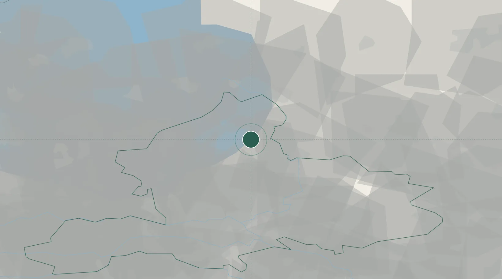
Location
Nearby Logistics Neighbours
Cities
- 1Wijnbergen2 km
- 2Heerde8 km
- 3Olst9 km
- 4Wesepe15 km
- 5Wilp15 km
Airports
- 1Deelen Air Base29 km
- 2Lelystad Airport35 km
- 3Twente Airport62 km
- 4Volkel Air Base76 km
- 5Weeze (Niederrhein) Airport80 km
Trade Zones
DatabookThe Record of Consolidated Knowledge
Netherlands beyond logistics?