Transport Functions
Port
Rail
Road
Hub Profile
Place type
Populated place
Region
Overijssel
Time zone
Europe/Amsterdam
Elevation
9 m
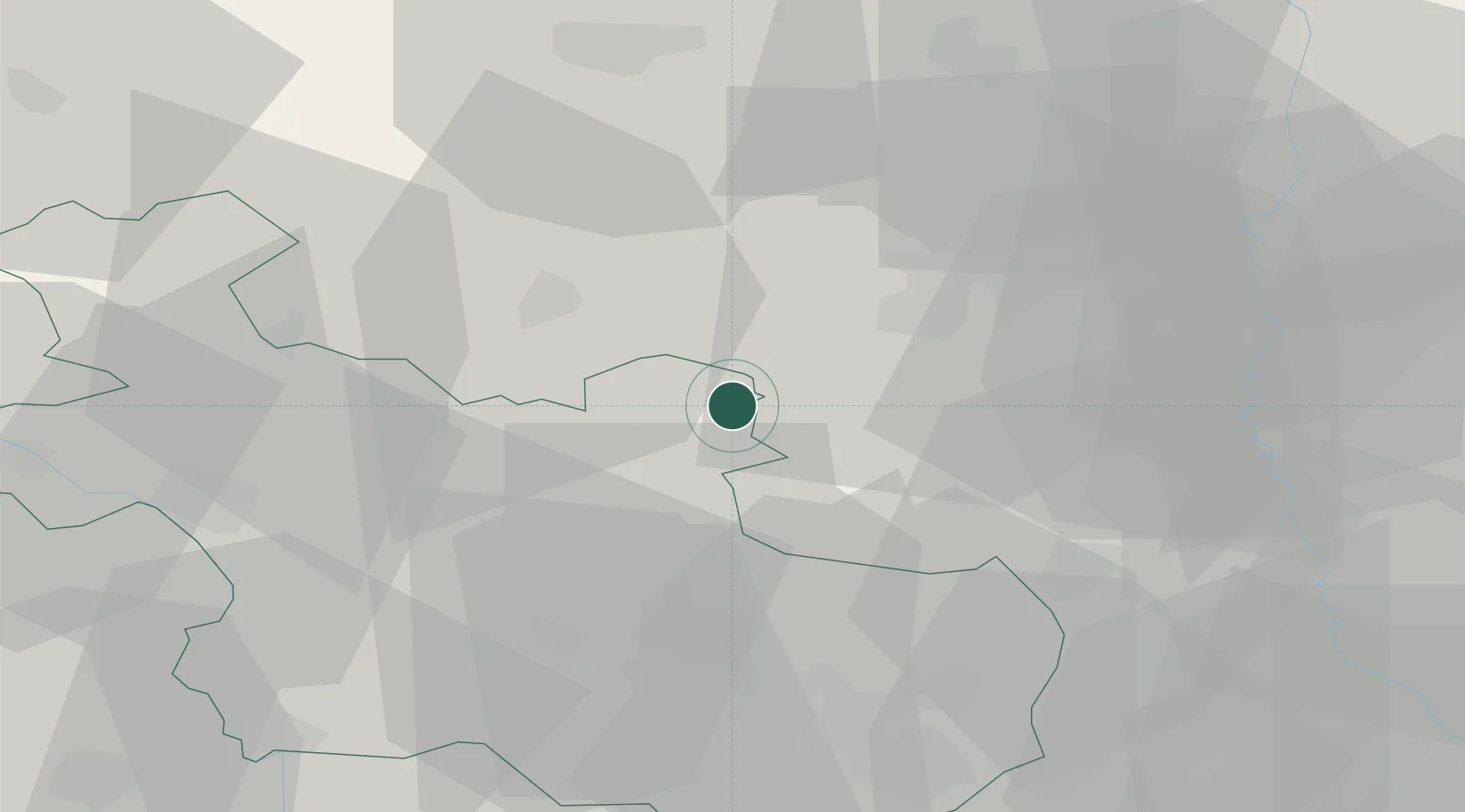
Location
Nearby Logistics Neighbours
Cities
- 1Holtheme1 km
- 2Coevorden5 km
- 3Heemserveen9 km
- 4Bergentheim10 km
- 5Stieltjeskanaal13 km
Airports
- 1Twente Airport40 km
- 2Groningen Airport Eelde56 km
- 3Lelystad Airport81 km
- 4Deelen Air Base83 km
- 5Münster Osnabrück Airport87 km
Trade Zones
DatabookThe Record of Consolidated Knowledge
Netherlands beyond logistics?