Transport Functions
Port
Rail
Road
Hub Profile
Place type
Populated place
Region
Drenthe
Population
14,600
Time zone
Europe/Amsterdam
Elevation
14 m
Logistics facilities
1
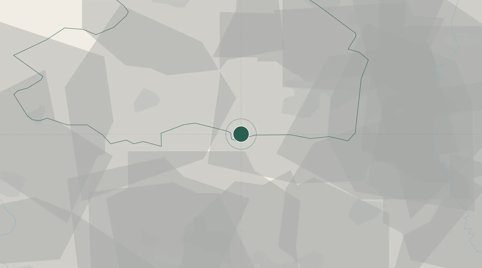
Location
Nearby Logistics Neighbours
Cities
- 1Holtheme4 km
- 2Gramsbergen5 km
- 3Stieltjeskanaal8 km
- 4Den Hool9 km
- 5Holsloot9 km
Airports
- 1Twente Airport42 km
- 2Groningen Airport Eelde54 km
- 3Lelystad Airport85 km
- 4Münster Osnabrück Airport86 km
- 5Deelen Air Base87 km
Trade Zones
DatabookThe Record of Consolidated Knowledge
Netherlands beyond logistics?