UN/LOCODE hub · Netherlands
NLGRA
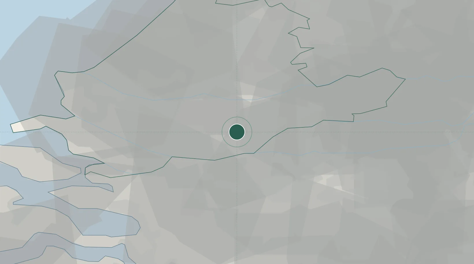
's-Gravendeel
51.7905°, 4.6197°
9,000
Population
1
Transport functions
Transport Functions
Port
Hub Profile
Place type
Populated place
Region
South Holland
Population
9,000
Time zone
Europe/Amsterdam
Elevation
1 m
Logistics facilities
1
Location
Nearby Logistics Neighbours
Cities
- 1Dordrecht2 km
- 2Puttershoek4 km
- 3Hendrik-Ido-Ambacht7 km
- 4Papendrecht7 km
- 5Oud-Alblas9 km
Ports
- 1Dordrecht4 km
- 2Rotterdam15 km
- 3Schiedam19 km
- 4Vlaardingen22 km
- 5Maassluis29 km
Airports
- 1Rotterdam The Hague Airport22 km
- 2Gilze Rijen Air Base33 km
- 3Woensdrecht Air Base43 km
- 4Amsterdam Airport Schiphol58 km
- 5Eindhoven Airport64 km
Trade Zones
- 1Freeport of Duisburg141 km
- 2ZFU Tourcoing156 km
- 3Rheinische Revier SWZ157 km
- 4ZFU Hem et Roubaix159 km
- 5ZFU Condé sur lEscaut164 km
DatabookThe Record of Consolidated Knowledge
Netherlands beyond logistics?