Transport Functions
Port
Rail
Road
Hub Profile
Place type
Populated place
Region
South Holland
Population
119,260
Time zone
Europe/Amsterdam
Elevation
3 m
Logistics facilities
1
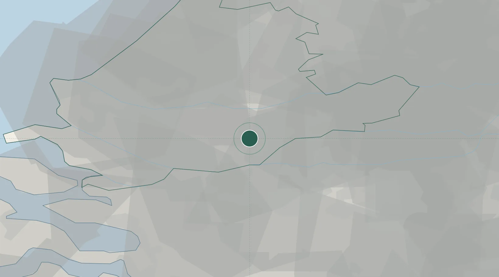
Location
Nearby Logistics Neighbours
Cities
- 1's-Gravendeel2 km
- 2Papendrecht5 km
- 3Hendrik-Ido-Ambacht5 km
- 4Puttershoek5 km
- 5Oud-Alblas7 km
Ports
- 1Rotterdam16 km
- 2Schiedam20 km
- 3Vlaardingen23 km
- 4Maassluis30 km
- 5Hoek Van Holland39 km
Airports
- 1Rotterdam The Hague Airport22 km
- 2Gilze Rijen Air Base33 km
- 3Woensdrecht Air Base45 km
- 4Amsterdam Airport Schiphol57 km
- 5Eindhoven Airport64 km
Trade Zones
- 1Freeport of Duisburg140 km
- 2Rheinische Revier SWZ156 km
- 3ZFU Tourcoing158 km
- 4ZFU Hem et Roubaix161 km
- 5ZFU Condé sur lEscaut166 km
DatabookThe Record of Consolidated Knowledge
Netherlands beyond logistics?