Transport Functions
Multimodal
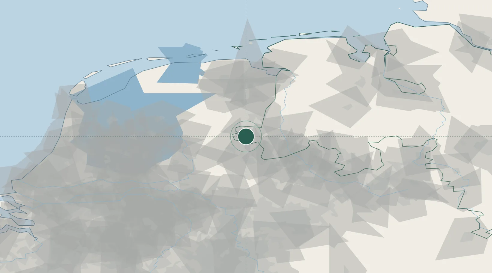
Hub Profile
Place type
Local administrative seat
Region
Lower Saxony
Population
1,608
Time zone
Europe/Berlin
Elevation
30 m
Location
Nearby Logistics Neighbours
Airports
- 1Twente Airport27 km
- 2Groningen Airport Eelde69 km
- 3Münster Osnabrück Airport72 km
- 4Deelen Air Base83 km
- 5Lelystad Airport90 km
Trade Zones
DatabookThe Record of Consolidated Knowledge
Germany beyond logistics?