Transport Functions
Port
Road
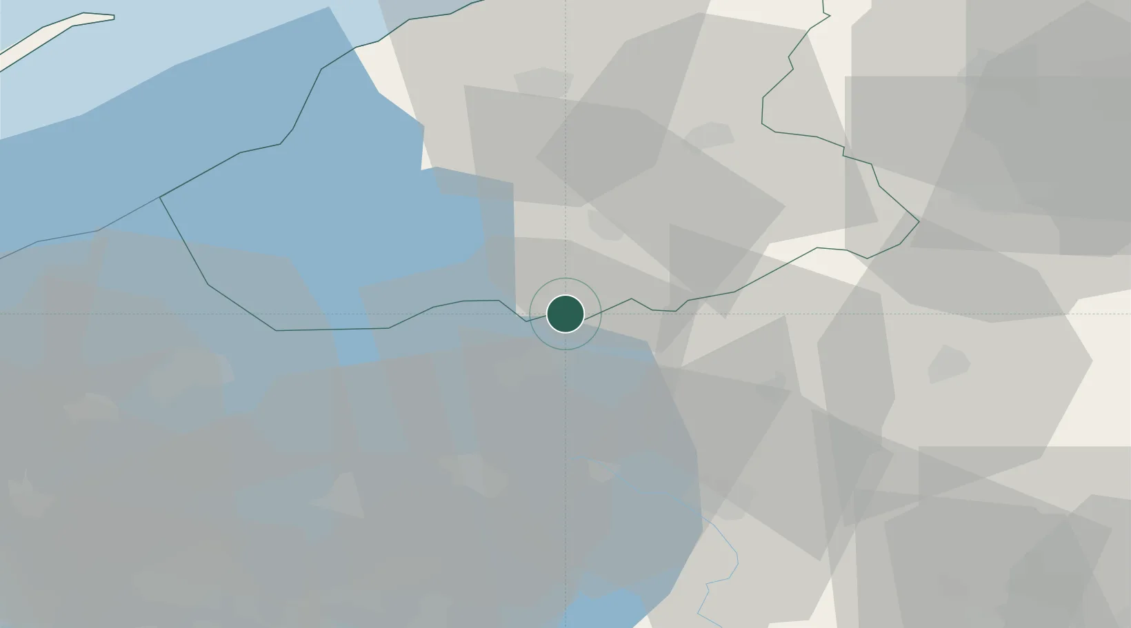
Hub Profile
Place type
Populated place
Region
Friesland
Population
35
Time zone
Europe/Amsterdam
Elevation
0 m
Location
Nearby Logistics Neighbours
Cities
- 1Schoterzijl3 km
- 2Langelille4 km
- 3Munnekeburen4 km
- 4Ossenzijl5 km
- 5Echtenerbrug6 km
Ports
- 1Harlingen50 km
- 2Den Helder74 km
- 3Zaandam81 km
- 4Amsterdam81 km
- 5Delfzijl92 km
Airports
- 1Leeuwarden Air Base46 km
- 2Lelystad Airport46 km
- 3Groningen Airport Eelde59 km
- 4De Kooy Airfield / Den Helder Naval Air Station73 km
- 5Deelen Air Base84 km
Trade Zones
DatabookThe Record of Consolidated Knowledge
Netherlands beyond logistics?