Transport Functions
Rail
Road
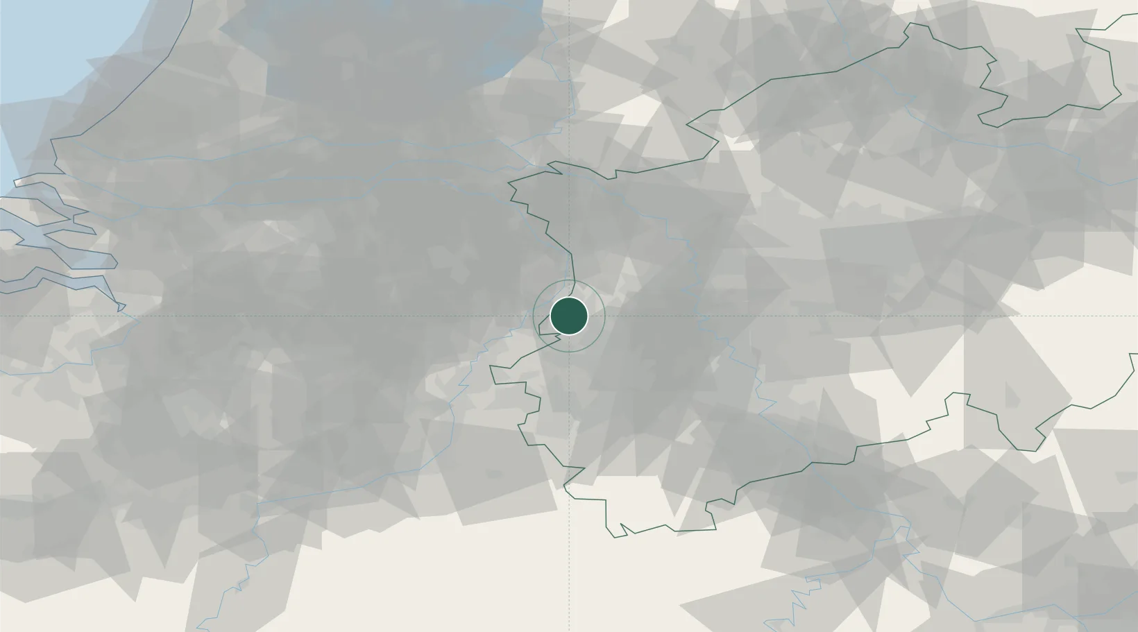
Hub Profile
Place type
Local administrative seat
Region
North Rhine-Westphalia
Population
16,105
Time zone
Europe/Berlin
Elevation
44 m
Location
Nearby Logistics Neighbours
Airports
- 1Mönchengladbach Airport23 km
- 2Geilenkirchen Air Base34 km
- 3Weeze (Niederrhein) Airport39 km
- 4Kempen Airport Budel41 km
- 5Düsseldorf Airport41 km
Trade Zones
- 1Freeport of Duisburg36 km
- 2Rheinische Revier SWZ40 km
- 3Luxembourg Free Port179 km
- 4ZFU Ronde Couture197 km
- 5ZFU Woippy-Metz233 km
DatabookThe Record of Consolidated Knowledge
Germany beyond logistics?