Transport Functions
Port
Road
Hub Profile
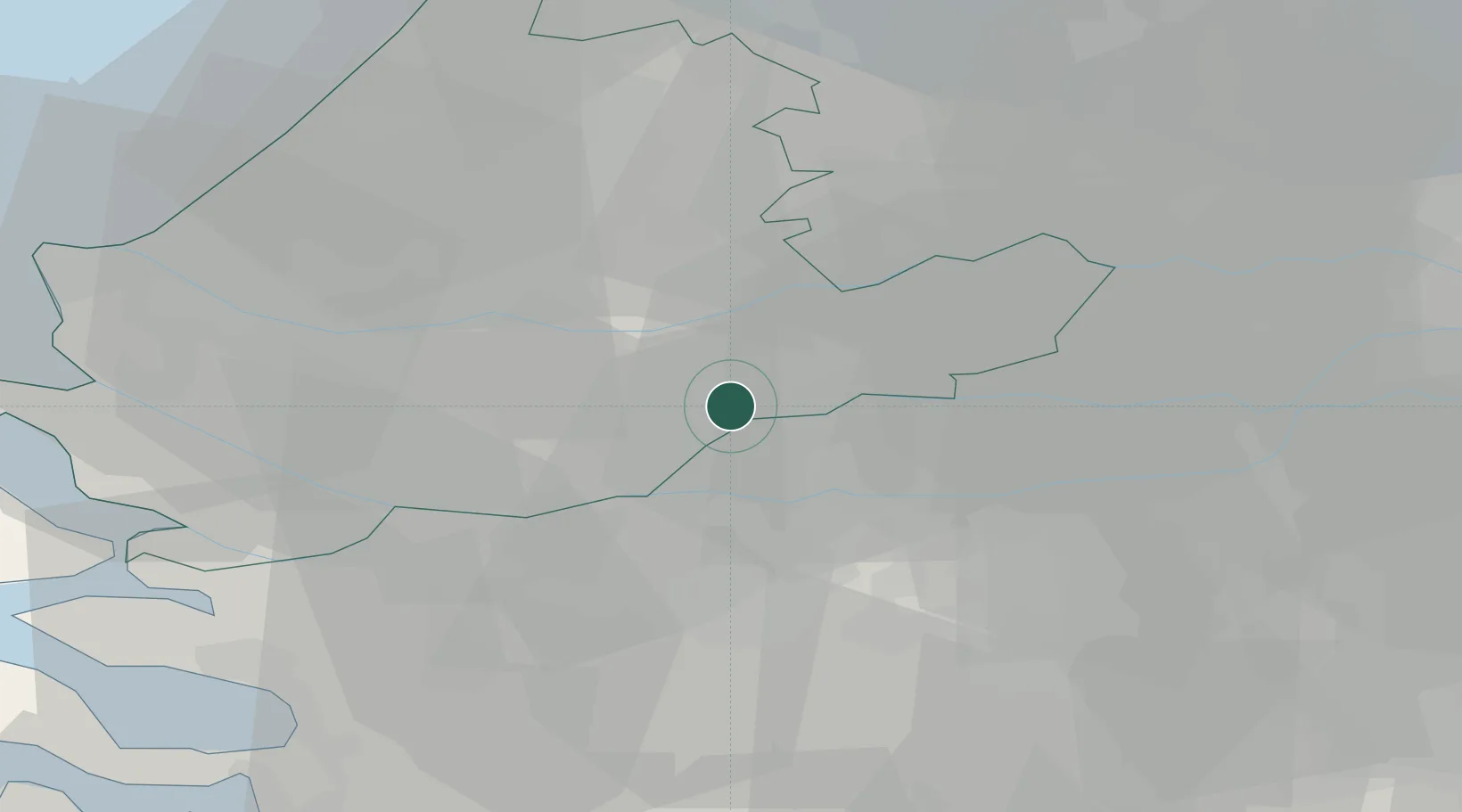
Place type
Populated place
Region
South Holland
Population
23,854
Time zone
Europe/Amsterdam
Elevation
-1 m
Location
Nearby Logistics Neighbours
Cities
- 1Hardinxveld-Giessendam5 km
- 2Oud-Alblas6 km
- 3Hardinxveld7 km
- 4Papendrecht7 km
- 5Dordrecht9 km
Ports
- 1Dordrecht8 km
- 2Rotterdam22 km
- 3Schiedam27 km
- 4Vlaardingen30 km
- 5Maassluis37 km
Airports
- 1Rotterdam The Hague Airport28 km
- 2Gilze Rijen Air Base30 km
- 3Woensdrecht Air Base50 km
- 4Amsterdam Airport Schiphol55 km
- 5Eindhoven Airport59 km
Trade Zones
- 1Freeport of Duisburg132 km
- 2Rheinische Revier SWZ151 km
- 3ZFU Tourcoing165 km
- 4ZFU Hem et Roubaix168 km
- 5ZFU Condé sur lEscaut172 km
DatabookThe Record of Consolidated Knowledge
Netherlands beyond logistics?