Free Trade Zone · Nicaragua

Inversiones Amerricuas, SA (Nicaraguan Eco-Industrial Park) Active
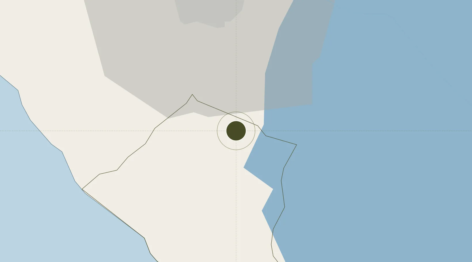
11.8839°, -86.1933°
2 ha
Zone area
70.7 km
Nearest port
28.8 km
Nearest airport

Gateway access

Nearest neighbours — logibook spatial index (haversine) over the source coordinates

Zone profile

Zone type
Free Trade Zone
Open Zone Map
Region
Carazo
Open Zone Map
Status
Active
Open Zone Map
Management
Private
Open Zone Map
Operator
Amerricuas SA
Open Zone Map
Legal framework
The Free Trade Zone Law – Law 917
Open Zone Map

Location

Location of ozm-2926
Natural Earth 10m (public domain) · Carazo · ozm-2926 · 11.88, -86.19GoogleOSMYandex

Nearby Logistics Neighbours

Ports
  1. 1Puerto Sandino71 km
  2. 2Corinto125 km
  3. 3Puerto De Hencan217 km
  4. 4La Union240 km
  5. 5Puntarenas258 km
Nearest neighbours — logibook spatial index (haversine) over the source coordinates
Airports
  1. 1Augusto C. Sandino (Managua) International Airport29 km
  2. 2Omtepe Airport67 km
  3. 3Daniel Oduber Quirós International Airport160 km
  4. 4Upala Airport169 km
  5. 5Los Chiles Airport188 km
Nearest neighbours — logibook spatial index (haversine) over the source coordinates
Cities
  1. 1Jinotepe4 km
  2. 2Diriamba6 km
  3. 3San Rafael del Sur28 km
  4. 4Tipitapa37 km
  5. 5Masachapa37 km
Nearest neighbours — logibook spatial index (haversine) over the source coordinates
Trade Zones
  1. 1Zona Franca Las Palmeras3 km
  2. 2Zona Franca Industrial Niquinohomo, SA10 km
  3. 3Cupid Free Trade Zone15 km
  4. 4Zona Franca San Gabriel16 km
  5. 5Zona Franca Coyotepe16 km
Nearest neighbours — logibook spatial index (haversine) over the source coordinates
DatabookThe Record of Consolidated Knowledge
Nicaragua beyond logistics?
Browse databook

All Sources

Trade ZonesOpen Zone Map
CC BY
Portsthe NGA World Port Index
Public domain (US gov)
AirportsOurAirports
Public domain
LocationsUN/LOCODE
UN/LOCODE — free
← Nicaragua trade zones