Export Processing Zone · Nicaragua

Zona Franca Las Palmeras Inactive
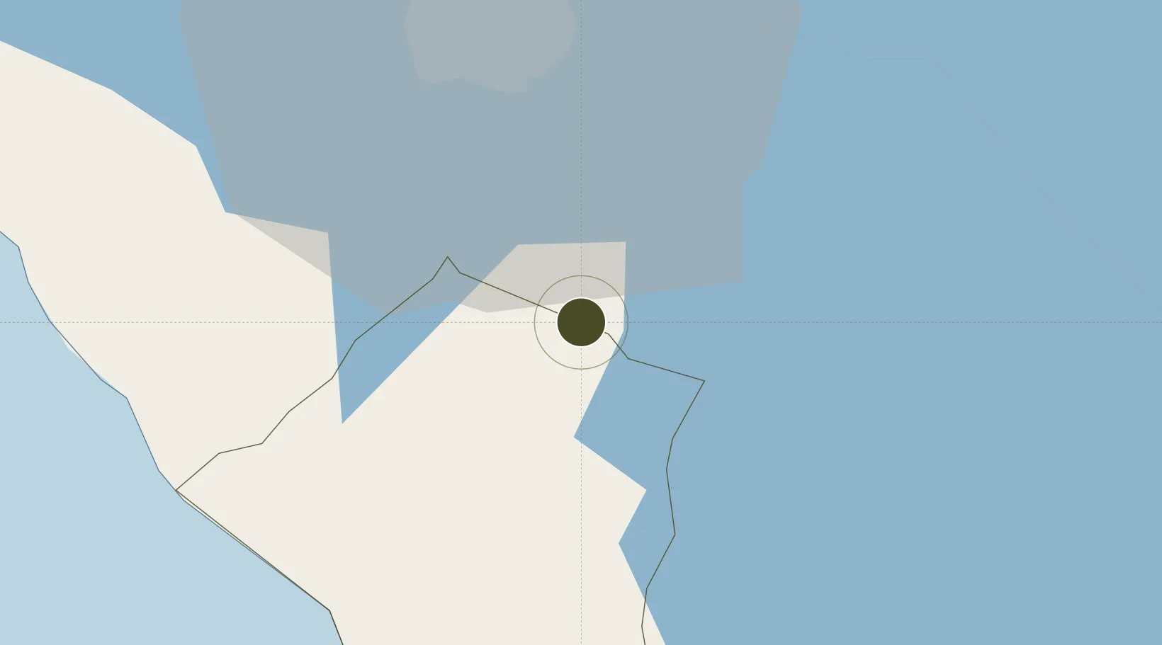
11.9036°, -86.1723°
8 ha
Zone area
71.7 km
Nearest port
26.5 km
Nearest airport

Gateway access

Nearest neighbours — logibook spatial index (haversine) over the source coordinates

Zone profile

Zone type
Export Processing Zone
Open Zone Map
Region
Carazo
Open Zone Map
Status
Inactive
Open Zone Map
Management
Private
Open Zone Map
Operator
Annic II, SA
Open Zone Map
Legal framework
The Free Trade Zone Law – Law 917
Open Zone Map

Location

Location of ozm-2920
Natural Earth 10m (public domain) · Carazo · ozm-2920 · 11.90, -86.17GoogleOSMYandex

Nearby Logistics Neighbours

Ports
  1. 1Puerto Sandino72 km
  2. 2Corinto126 km
  3. 3Puerto De Hencan217 km
  4. 4La Union240 km
  5. 5Puntarenas259 km
Nearest neighbours — logibook spatial index (haversine) over the source coordinates
Airports
  1. 1Augusto C. Sandino (Managua) International Airport27 km
  2. 2Omtepe Airport66 km
  3. 3Daniel Oduber Quirós International Airport161 km
  4. 4Upala Airport169 km
  5. 5Los Chiles Airport187 km
Nearest neighbours — logibook spatial index (haversine) over the source coordinates
Cities
  1. 1Jinotepe7 km
  2. 2Diriamba9 km
  3. 3San Rafael del Sur31 km
  4. 4Tipitapa34 km
  5. 5Masachapa40 km
Nearest neighbours — logibook spatial index (haversine) over the source coordinates
Trade Zones
  1. 1Inversiones Amerricuas, SA (Nicaraguan Eco-Industrial Park)3 km
  2. 2Zona Franca Industrial Niquinohomo, SA7 km
  3. 3Cupid Free Trade Zone12 km
  4. 4Zona Franca San Gabriel13 km
  5. 5Zona Franca Coyotepe13 km
Nearest neighbours — logibook spatial index (haversine) over the source coordinates
DatabookThe Record of Consolidated Knowledge
Nicaragua beyond logistics?
Browse databook

All Sources

Trade ZonesOpen Zone Map
CC BY
Portsthe NGA World Port Index
Public domain (US gov)
AirportsOurAirports
Public domain
LocationsUN/LOCODE
UN/LOCODE — free
← Nicaragua trade zones