Transport Functions
Port
Multimodal
Hub Profile
Place type
Provincial seat
Region
Madriz Department
Population
2,265
Time zone
America/Managua
Elevation
690 m
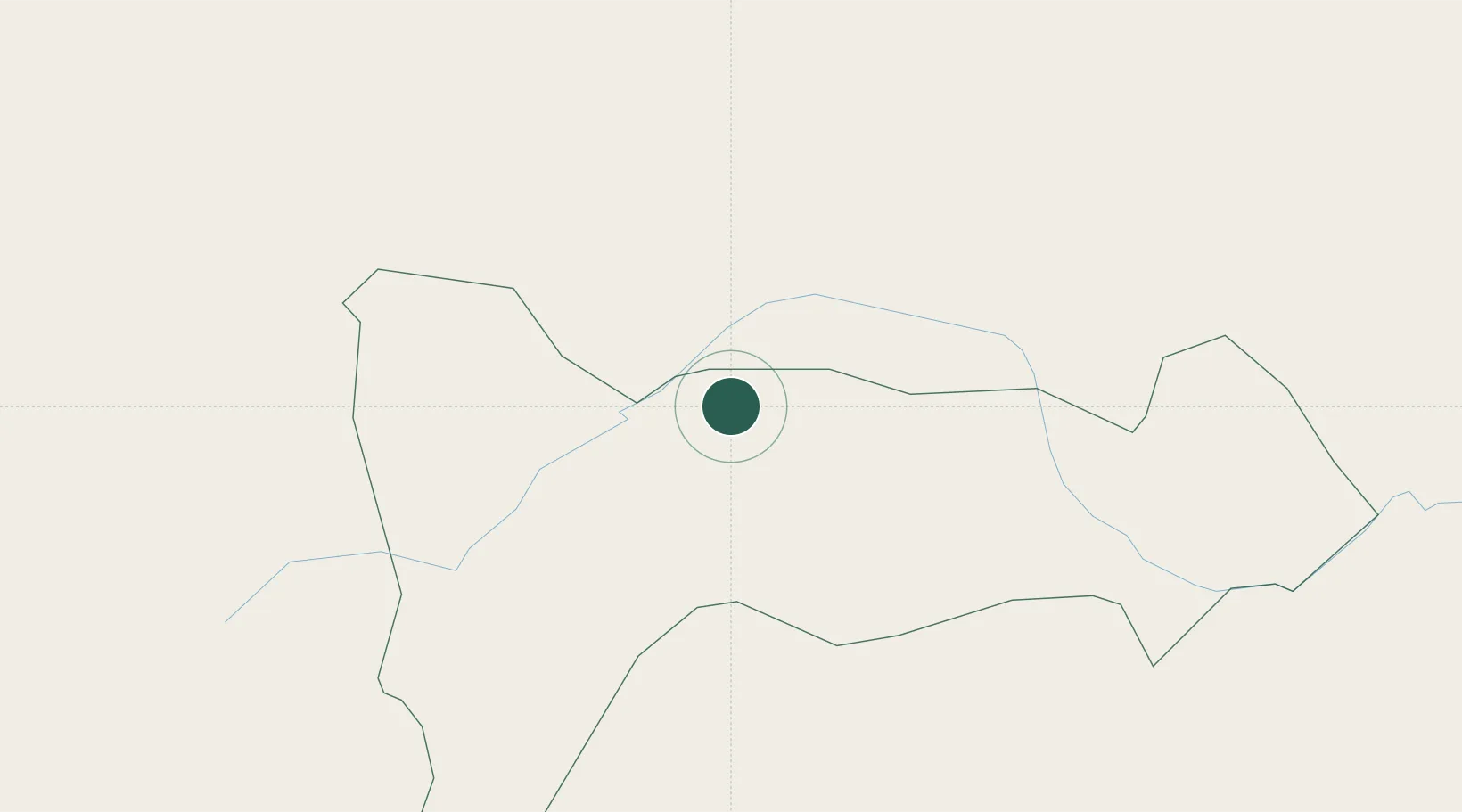
Location
Nearby Logistics Neighbours
Cities
- 1Ocotal8 km
- 2La Paz65 km
- 3El Sauce76 km
- 4El Zamorano76 km
- 5El Tizatillo87 km
Ports
- 1Puerto De Hencan104 km
- 2Corinto141 km
- 3La Union147 km
- 4Puerto Sandino157 km
- 5La Ceiba249 km
Airports
Trade Zones
DatabookThe Record of Consolidated Knowledge
Nicaragua beyond logistics?