Export Processing Zone · Nigeria

Ladol Logistics Free Zone Active
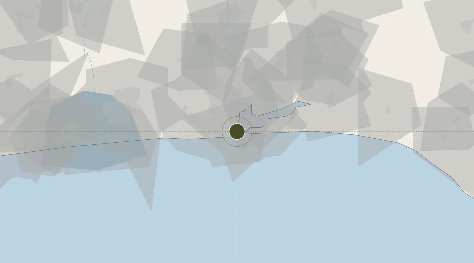
6.4300°, 3.3881°
80 ha
Zone area
3.6 km
Nearest port
18.0 km
Nearest airport

Gateway access

Nearest neighbours — logibook spatial index (haversine) over the source coordinates

Zone profile

Zone type
Export Processing Zone
the World Bank SEZ database
Specialization
Energy
the World Bank SEZ database
Region
Lagos
the World Bank SEZ database
Status
Active
the World Bank SEZ database
Established
2008
the World Bank SEZ database
Management
Private management
the World Bank SEZ database
Operator
LiLe
the World Bank SEZ database
Regulatory authority
Nigeria Export Processing Zone Authority (NEPZA)
the World Bank SEZ database
Legal framework
Nigeria Export Processing Zones Decree No 63
the World Bank SEZ database

Location

Location of NGA7
Natural Earth 10m (public domain) · Lagos · NGA7 · 6.43, 3.39GoogleOSMYandex

Fiscal & incentives

Corporate tax
30%
the World Bank SEZ database
Tax relief
100% exempt
the World Bank SEZ database
Relief duration
Perpetual
the World Bank SEZ database
VAT
100% exempt from consumption tax on utilities
the World Bank SEZ database
Import duty (inputs)
100% exempt
the World Bank SEZ database
Import duty (capex)
100% exempt
the World Bank SEZ database
Profit repatriation
100% exempt from repatriation tax on capital, profits, and dividends
the World Bank SEZ database
Capital gains
100% exempt from any government tax
the World Bank SEZ database
Withholding tax
100% exempt from any government tax
the World Bank SEZ database
Min. investment
None
the World Bank SEZ database
Min. export
0%
the World Bank SEZ database
Employment incentive
100% exempt from any government tax
the World Bank SEZ database
Developer incentive
Yes
the World Bank SEZ database

Nearby Logistics Neighbours

Ports
  1. 1Lagos4 km
  2. 2Tin Can Island10 km
  3. 3Cotonou106 km
  4. 4Ukpokiti Marine Terminal178 km
  5. 5Escravos Oil Terminal206 km
Nearest neighbours — logibook spatial index (haversine) over the source coordinates
Airports
  1. 1Murtala Muhammed International Airport18 km
  2. 2Cotonou Cadjehoun International Airport111 km
  3. 3Ibadan Airport123 km
  4. 4Akure Airport230 km
  5. 5Lomé–Tokoin International Airport238 km
Nearest neighbours — logibook spatial index (haversine) over the source coordinates
Cities
  1. 1Tincan/Lagos5 km
  2. 2Falomo6 km
  3. 3Lagos6 km
  4. 4Apapa7 km
  5. 5Mushin11 km
Nearest neighbours — logibook spatial index (haversine) over the source coordinates
Trade Zones
  1. 1Eko Support Free Zone1 km
  2. 2Tomaro Industrial Park3 km
  3. 3Eko Atlantic City (Nigeria Commerce City)4 km
  4. 4Nigerdock Free Zone5 km
  5. 5Snake Island Integrated Free Zone6 km
Nearest neighbours — logibook spatial index (haversine) over the source coordinates
DatabookThe Record of Consolidated Knowledge
Nigeria beyond logistics?
Browse databook

All Sources

Trade Zonesthe World Bank SEZ database
CC BY 4.0
Portsthe NGA World Port Index
Public domain (US gov)
AirportsOurAirports
Public domain
LocationsUN/LOCODE
UN/LOCODE — free
← Nigeria trade zones