Export Processing Zone · Nigeria

Nigerdock Free Zone Active
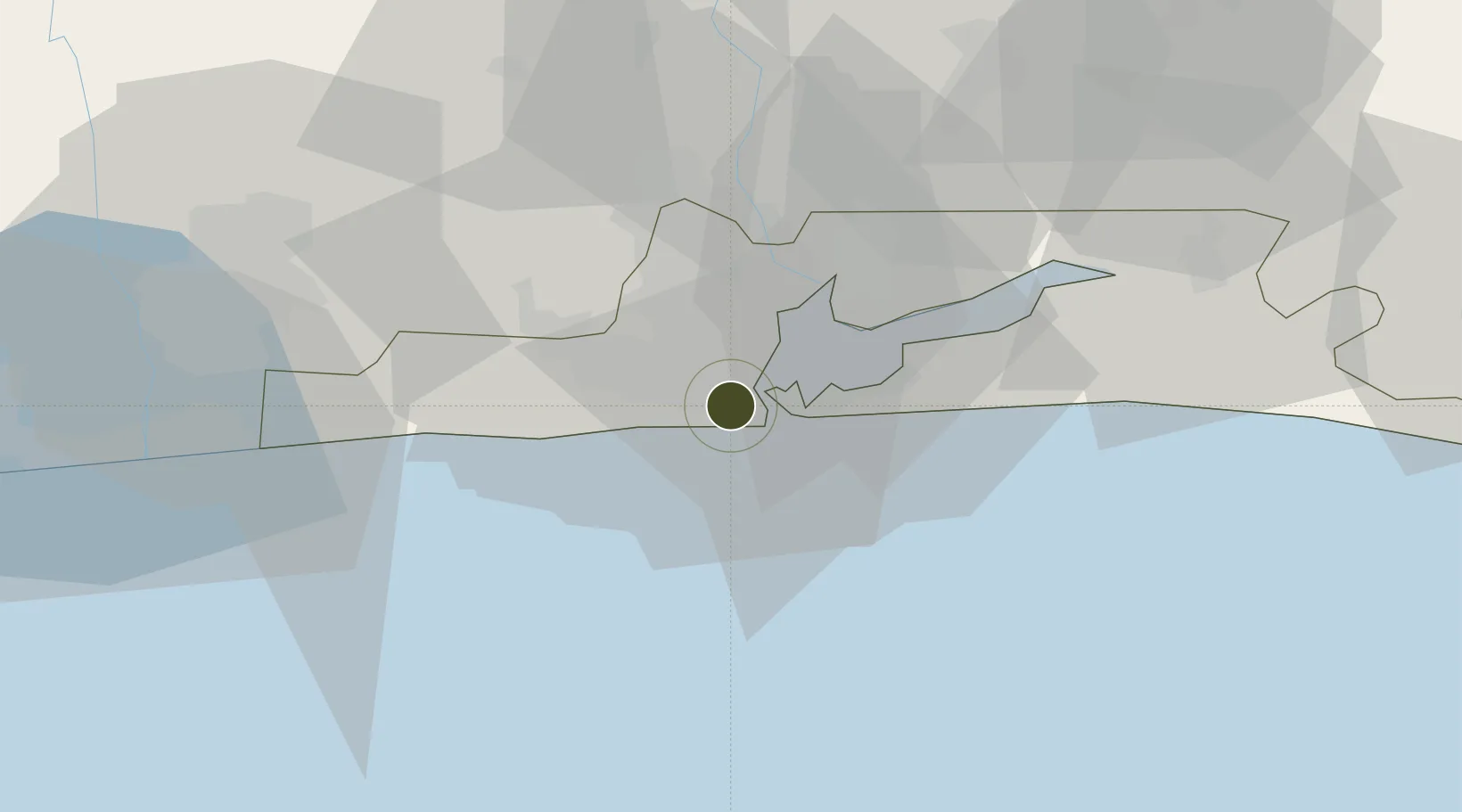
6.4258°, 3.3393°
220 ha
Zone area
7.3 km
Nearest port
17.0 km
Nearest airport

Gateway access

Nearest neighbours — logibook spatial index (haversine) over the source coordinates

Zone profile

Zone type
Export Processing Zone
Open Zone Map
Region
Lagos
Open Zone Map
Status
Active
Open Zone Map
Management
Public-Private Partnership
Open Zone Map
Operator
Nigerdock Free Zone Enterprises
Open Zone Map
Legal framework
Section 10 (4) of the Nigeria Export Processing Zones Act No 63 of 1992
Open Zone Map

Location

Location of ozm-2958
Natural Earth 10m (public domain) · Lagos · ozm-2958 · 6.43, 3.34GoogleOSMYandex

Nearby Logistics Neighbours

Ports
  1. 1Lagos7 km
  2. 2Tin Can Island9 km
  3. 3Cotonou101 km
  4. 4Ukpokiti Marine Terminal182 km
  5. 5Kpeme203 km
Nearest neighbours — logibook spatial index (haversine) over the source coordinates
Airports
  1. 1Murtala Muhammed International Airport17 km
  2. 2Cotonou Cadjehoun International Airport106 km
  3. 3Ibadan Airport126 km
  4. 4Lomé–Tokoin International Airport232 km
  5. 5Akure Airport235 km
Nearest neighbours — logibook spatial index (haversine) over the source coordinates
Cities
  1. 1Tincan/Lagos3 km
  2. 2Lagos5 km
  3. 3Agboju7 km
  4. 4Apapa8 km
  5. 5Mushin10 km
Nearest neighbours — logibook spatial index (haversine) over the source coordinates
Trade Zones
  1. 1Snake Island Integrated Free Zone0 km
  2. 2Tomaro Industrial Park3 km
  3. 3Ladol Logistics Free Zone5 km
  4. 4Eko Support Free Zone6 km
  5. 5Eko Atlantic City (Nigeria Commerce City)9 km
Nearest neighbours — logibook spatial index (haversine) over the source coordinates
DatabookThe Record of Consolidated Knowledge
Nigeria beyond logistics?
Browse databook

All Sources

Trade ZonesOpen Zone Map
CC BY
Portsthe NGA World Port Index
Public domain (US gov)
AirportsOurAirports
Public domain
LocationsUN/LOCODE
UN/LOCODE — free
← Nigeria trade zones