Specialized Zone · Nigeria

Eko Support Free Zone Active
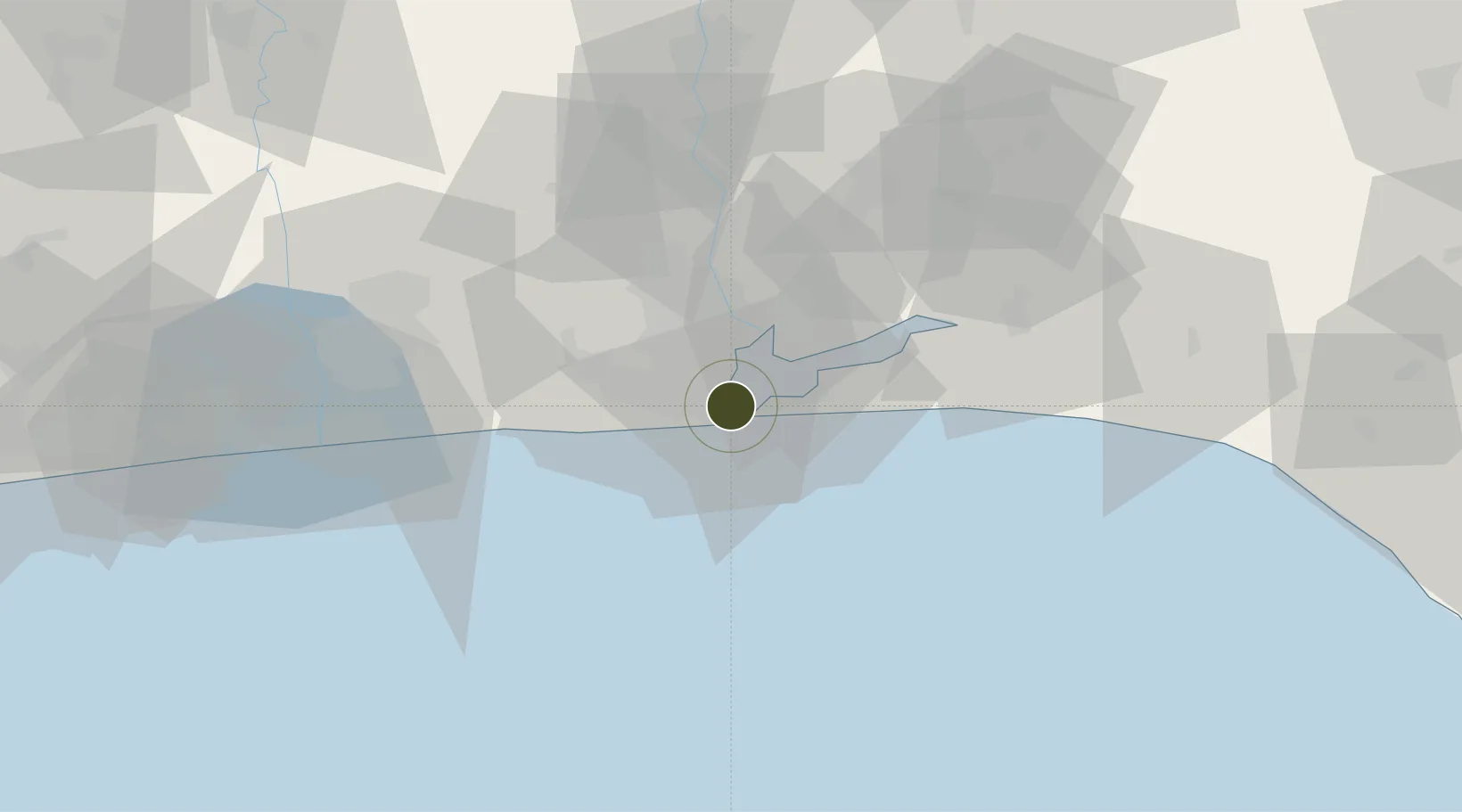
6.4359°, 3.3931°
4 ha
Zone area
4.1 km
Nearest port
17.6 km
Nearest airport

Gateway access

Nearest neighbours — logibook spatial index (haversine) over the source coordinates

Zone profile

Zone type
Specialized Zone
Open Zone Map
Specialization
Energy
Open Zone Map
Region
Lagos
Open Zone Map
Status
Active
Open Zone Map
Management
Public-Private Partnership
Open Zone Map
Operator
Eko Support Services Free Zone Ltd.
Open Zone Map
Legal framework
Section 2 of the Oil and Gas Export Free Zone Act No. 8 of 1996
Open Zone Map

Location

Location of ozm-2981
Natural Earth 10m (public domain) · Lagos · ozm-2981 · 6.44, 3.39GoogleOSMYandex

Nearby Logistics Neighbours

Ports
  1. 1Lagos4 km
  2. 2Tin Can Island11 km
  3. 3Cotonou107 km
  4. 4Ukpokiti Marine Terminal177 km
  5. 5Escravos Oil Terminal206 km
Nearest neighbours — logibook spatial index (haversine) over the source coordinates
Airports
  1. 1Murtala Muhammed International Airport18 km
  2. 2Cotonou Cadjehoun International Airport112 km
  3. 3Ibadan Airport122 km
  4. 4Akure Airport229 km
  5. 5Lomé–Tokoin International Airport238 km
Nearest neighbours — logibook spatial index (haversine) over the source coordinates
Cities
  1. 1Falomo5 km
  2. 2Tincan/Lagos5 km
  3. 3Lagos6 km
  4. 4Apapa6 km
  5. 5Mushin10 km
Nearest neighbours — logibook spatial index (haversine) over the source coordinates
Trade Zones
  1. 1Ladol Logistics Free Zone1 km
  2. 2Tomaro Industrial Park3 km
  3. 3Eko Atlantic City (Nigeria Commerce City)4 km
  4. 4Nigerdock Free Zone6 km
  5. 5Snake Island Integrated Free Zone6 km
Nearest neighbours — logibook spatial index (haversine) over the source coordinates
DatabookThe Record of Consolidated Knowledge
Nigeria beyond logistics?
Browse databook

All Sources

Trade ZonesOpen Zone Map
CC BY
Portsthe NGA World Port Index
Public domain (US gov)
AirportsOurAirports
Public domain
LocationsUN/LOCODE
UN/LOCODE — free
← Nigeria trade zones