Export Processing Zone · Nigeria

Tomaro Industrial Park Active
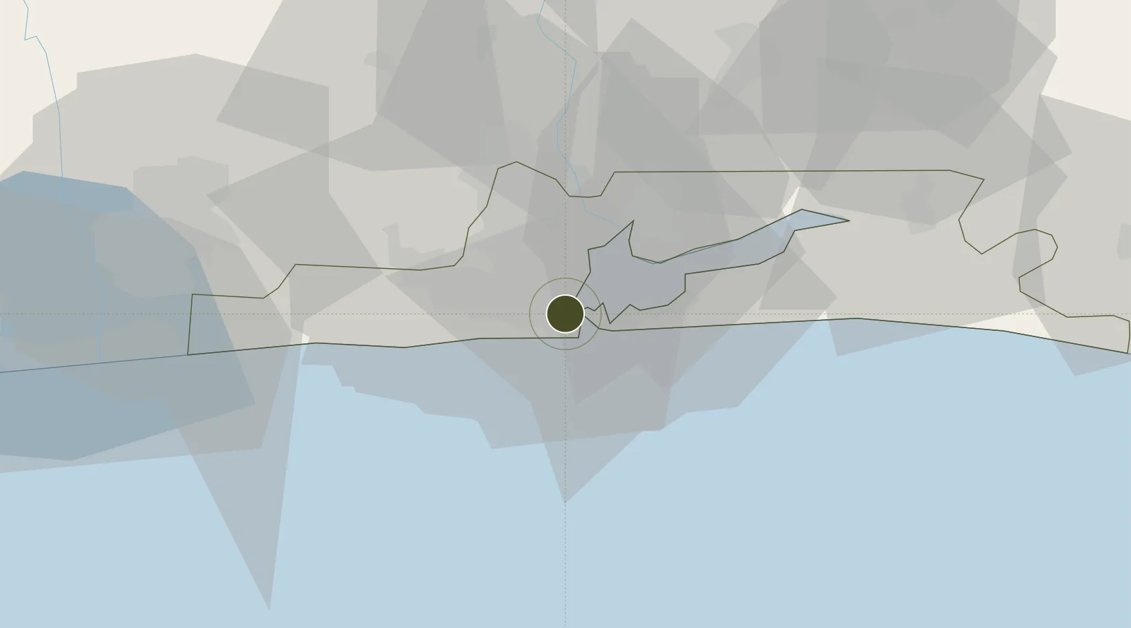
6.4397°, 3.3623°
80 ha
Zone area
6.1 km
Nearest port
16.0 km
Nearest airport

Gateway access

Nearest neighbours — logibook spatial index (haversine) over the source coordinates

Zone profile

Zone type
Export Processing Zone
Open Zone Map
Region
Lagos
Open Zone Map
Status
Active
Open Zone Map
Management
Private
Open Zone Map
Operator
Genesis Worldwide Shipping
Open Zone Map
Legal framework
Lagos Free Zone Regulations
Open Zone Map

Location

Location of ozm-2955
Natural Earth 10m (public domain) · Lagos · ozm-2955 · 6.44, 3.36GoogleOSMYandex

Nearby Logistics Neighbours

Ports
  1. 1Lagos6 km
  2. 2Tin Can Island10 km
  3. 3Cotonou103 km
  4. 4Ukpokiti Marine Terminal181 km
  5. 5Kpeme206 km
Nearest neighbours — logibook spatial index (haversine) over the source coordinates
Airports
  1. 1Murtala Muhammed International Airport16 km
  2. 2Cotonou Cadjehoun International Airport109 km
  3. 3Ibadan Airport123 km
  4. 4Akure Airport232 km
  5. 5Lomé–Tokoin International Airport235 km
Nearest neighbours — logibook spatial index (haversine) over the source coordinates
Cities
  1. 1Tincan/Lagos2 km
  2. 2Lagos4 km
  3. 3Apapa5 km
  4. 4Falomo8 km
  5. 5Mushin9 km
Nearest neighbours — logibook spatial index (haversine) over the source coordinates
Trade Zones
  1. 1Nigerdock Free Zone3 km
  2. 2Ladol Logistics Free Zone3 km
  3. 3Snake Island Integrated Free Zone3 km
  4. 4Eko Support Free Zone3 km
  5. 5Eko Atlantic City (Nigeria Commerce City)7 km
Nearest neighbours — logibook spatial index (haversine) over the source coordinates
DatabookThe Record of Consolidated Knowledge
Nigeria beyond logistics?
Browse databook

All Sources

Trade ZonesOpen Zone Map
CC BY
Portsthe NGA World Port Index
Public domain (US gov)
AirportsOurAirports
Public domain
LocationsUN/LOCODE
UN/LOCODE — free
← Nigeria trade zones