Transport Functions
Port
Airport
Postal
Hub Profile
Place type
Provincial seat
Region
Lagos
Population
15,388,000
Time zone
Africa/Lagos
Elevation
11 m
Logistics facilities
8
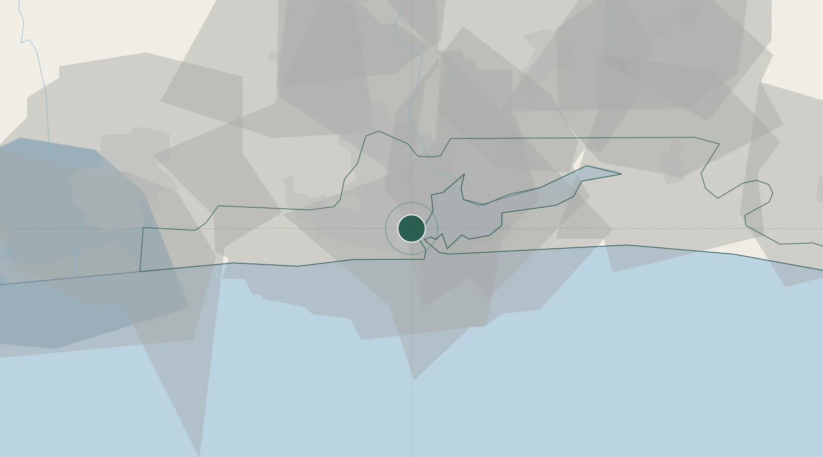
Location
Nearby Logistics Neighbours
Cities
- 1Tincan/Lagos2 km
- 2Apapa2 km
- 3Mushin5 km
- 4Shomolu7 km
- 5Agboju8 km
Ports
- 1Tin Can Island14 km
- 2Cotonou103 km
- 3Ukpokiti Marine Terminal183 km
- 4Kpeme205 km
- 5Escravos Oil Terminal212 km
Airports
Trade Zones
DatabookThe Record of Consolidated Knowledge
Nigeria beyond logistics?