Specialized Zone · Nigeria

Enpower Enugu Free Zone Active
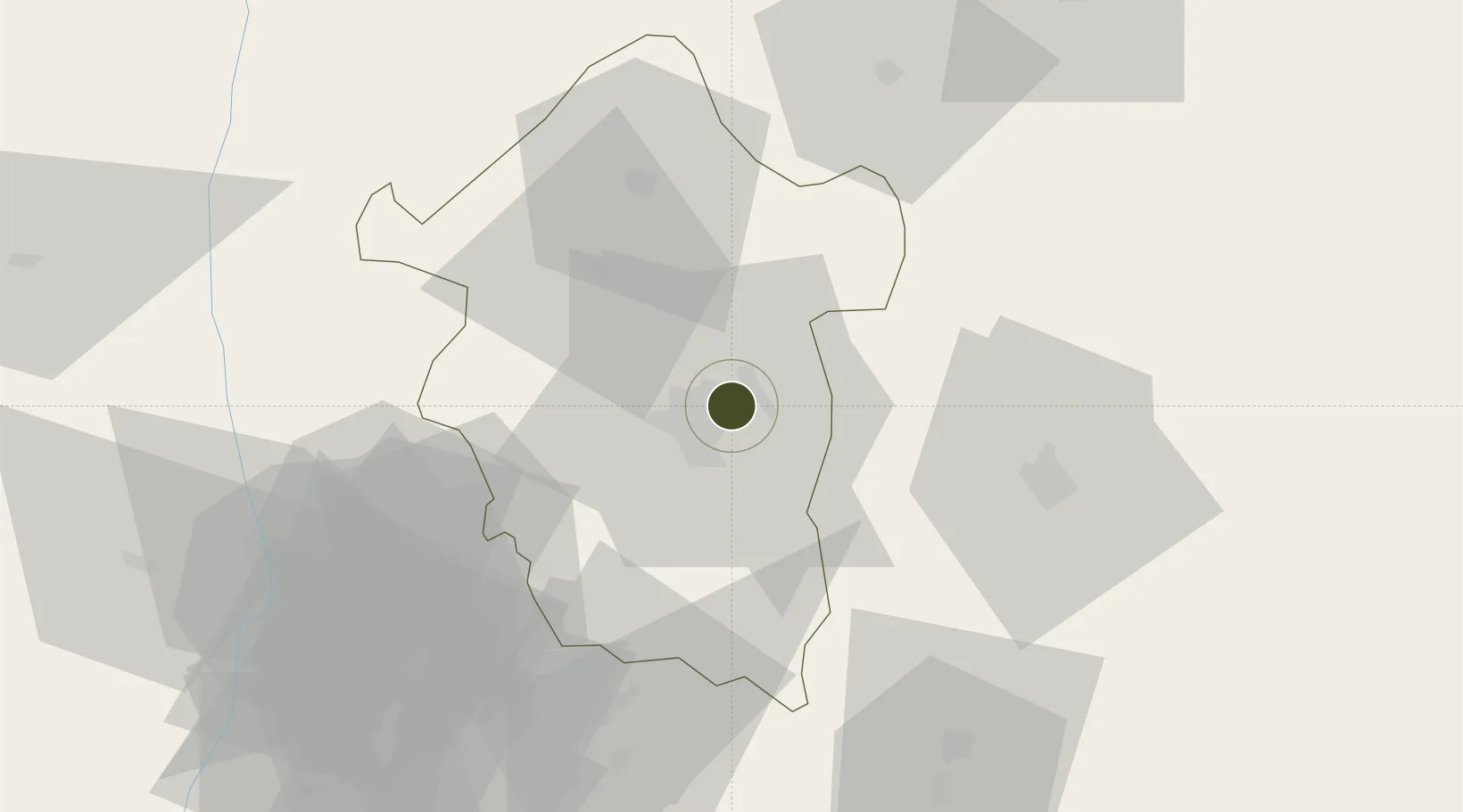
6.4611°, 7.5603°
50 ha
Zone area
186.1 km
Nearest port
1.4 km
Nearest airport

Gateway access

Nearest neighbours — logibook spatial index (haversine) over the source coordinates

Zone profile

Zone type
Specialized Zone
Open Zone Map
Specialization
Energy
Open Zone Map
Region
Enugu
Open Zone Map
Status
Active
Open Zone Map
Management
Private
Open Zone Map
Operator
Enpower Free Trade Zone Limited
Open Zone Map
Legal framework
Section 10 (4) of the Nigeria Export Processing Zones Act No 63 of 1992
Open Zone Map

Location

Location of ozm-2982
Natural Earth 10m (public domain) · Enugu · ozm-2982 · 6.46, 7.56GoogleOSMYandex

Nearby Logistics Neighbours

Ports
  1. 1Calabar186 km
  2. 2Port Harcourt198 km
  3. 3Okrika201 km
  4. 4Onne203 km
  5. 5Sapele217 km
Nearest neighbours — logibook spatial index (haversine) over the source coordinates
Airports
  1. 1Akanu Ibiam International Airport1 km
  2. 2Chinua Achebe International Airport79 km
  3. 3Asaba International Airport103 km
  4. 4Sam Mbakwe International Cargo Airport122 km
  5. 5Port Harcourt International Airport174 km
Nearest neighbours — logibook spatial index (haversine) over the source coordinates
Cities
  1. 1Anambra91 km
  2. 2Umuoja Obosi92 km
  3. 3Asaba95 km
  4. 4Awka102 km
  5. 5Nyanya157 km
Nearest neighbours — logibook spatial index (haversine) over the source coordinates
Trade Zones
  1. 1Ebonyi Export Processing Zone66 km
  2. 2Imo Guangdong Free Trade Zone123 km
  3. 3Enyimba Economic City160 km
  4. 4Ibom Science & Technology Free Zone168 km
  5. 5Tinapa Free Zone & Resort178 km
Nearest neighbours — logibook spatial index (haversine) over the source coordinates
DatabookThe Record of Consolidated Knowledge
Nigeria beyond logistics?
Browse databook

All Sources

Trade ZonesOpen Zone Map
CC BY
Portsthe NGA World Port Index
Public domain (US gov)
AirportsOurAirports
Public domain
LocationsUN/LOCODE
UN/LOCODE — free
← Nigeria trade zones