Transport Functions
Multimodal
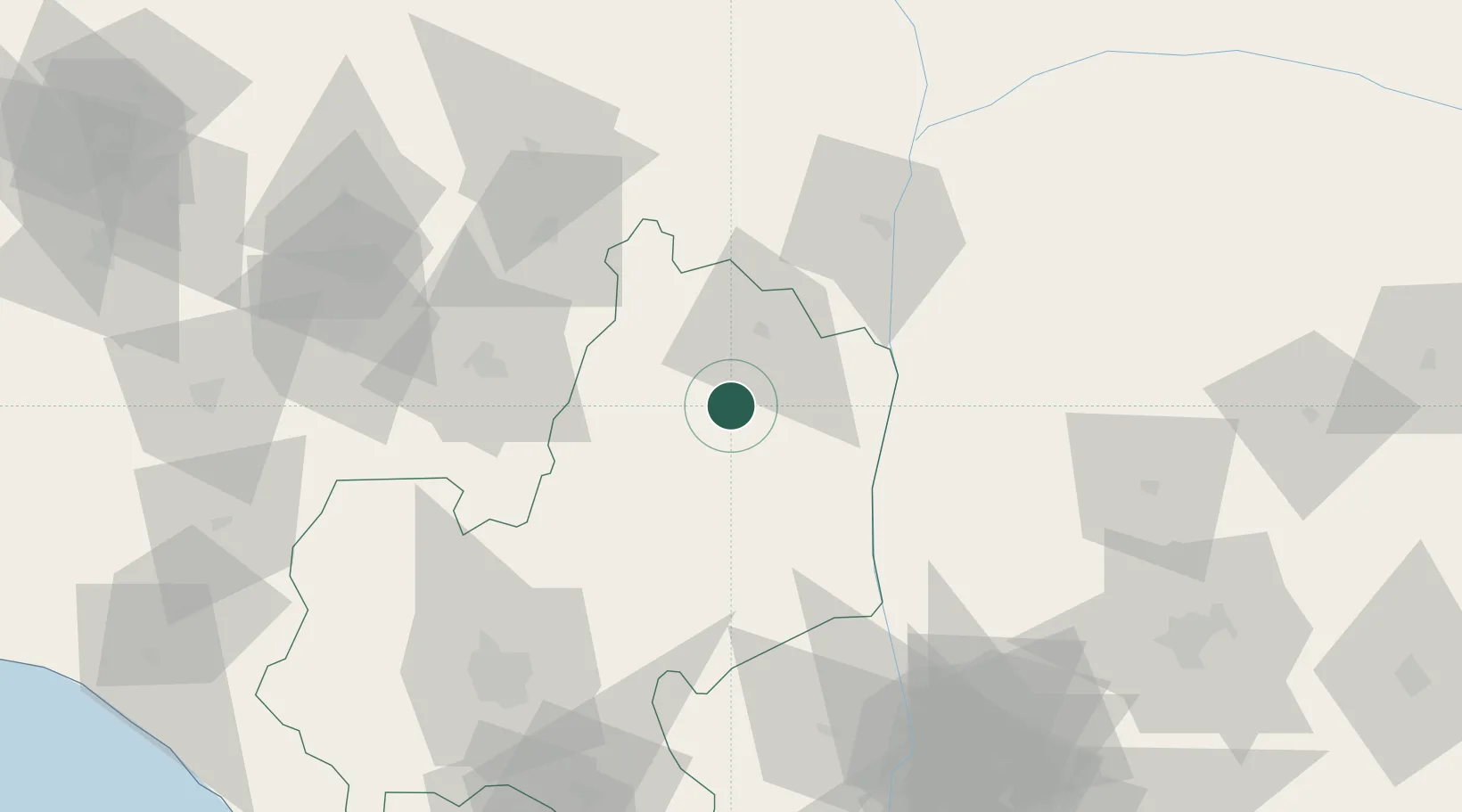
Hub Profile
Place type
Provincial seat
Region
Edo State
Population
62,907
Time zone
Africa/Lagos
Elevation
188 m
Location
Nearby Logistics Neighbours
Cities
- 1Asaba112 km
- 2Umuoja Obosi124 km
- 3Anambra127 km
- 4Olorunsogo145 km
- 5Amukpe147 km
Ports
- 1Sapele145 km
- 2Koko148 km
- 3Warri182 km
- 4Burutu209 km
- 5Ukpokiti Marine Terminal217 km
Airports
- 1Asaba International Airport106 km
- 2Akure Airport108 km
- 3Chinua Achebe International Airport111 km
- 4Benin Airport111 km
- 5Akanu Ibiam International Airport157 km
Trade Zones
DatabookThe Record of Consolidated Knowledge
Nigeria beyond logistics?