Transport Functions
Port
Multimodal
Hub Profile
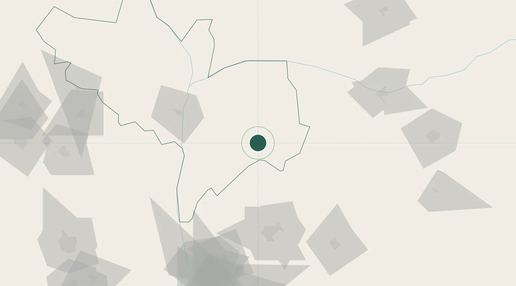
Place type
Populated place
Region
Kogi State
Time zone
Africa/Lagos
Elevation
291 m
Location
Nearby Logistics Neighbours
Cities
- 1Auchi127 km
- 2Asaba140 km
- 3Umuoja Obosi145 km
- 4Awka183 km
- 5Nyanya185 km
Ports
- 1Sapele243 km
- 2Koko256 km
- 3Warri268 km
- 4Calabar275 km
- 5Port Harcourt282 km
Airports
Trade Zones
- 1Enpower Enugu Free Zone91 km
- 2Ebonyi Export Processing Zone135 km
- 3Centenary City187 km
- 4Abuja Technology Village Free Zone190 km
- 5Imo Guangdong Free Trade Zone201 km
DatabookThe Record of Consolidated Knowledge
Nigeria beyond logistics?