UN/LOCODE hub · Malaysia
MYTAM

Tanjung Malim

3.6833°, 101.5000°
2
Transport functions

Transport Functions

Rail
Road
UN/LOCODE

Hub Profile

Region
08
GeoNames

Location

Location of MYTAM
Natural Earth 10m (public domain) · 08 · MYTAM · 3.68, 101.50GoogleOSMYandex

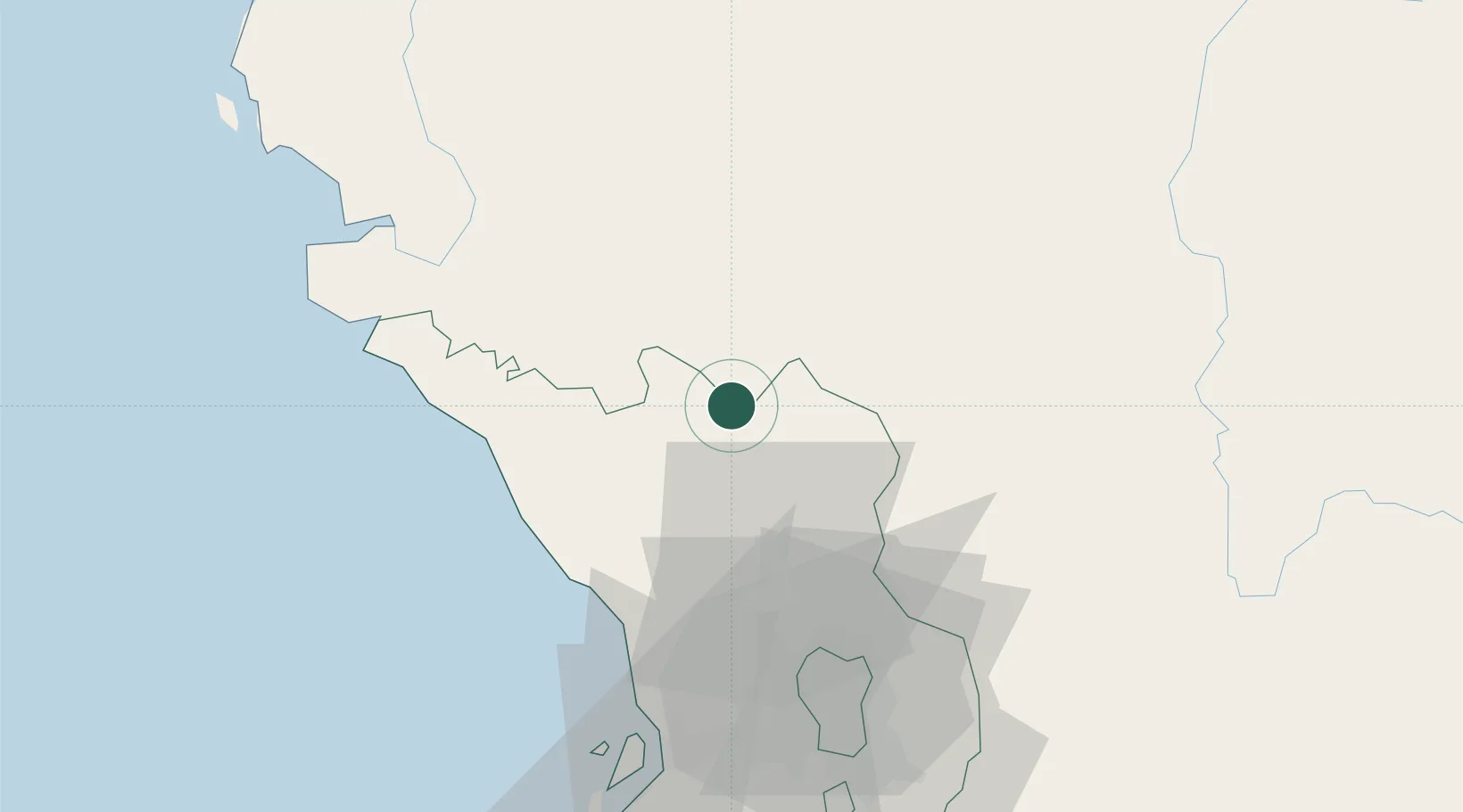
Nearby Logistics Neighbours

Cities
  1. 1Batang Kali28 km
  2. 2Rawang42 km
  3. 3Bandar Baru Selayang49 km
  4. 4Langkap52 km
  5. 5Kepong54 km
Nearest neighbours — logibook spatial index (haversine) over the source coordinates
Ports
  1. 1Teluk Anson65 km
  2. 2Port Klang77 km
  3. 3Lumut114 km
  4. 4Port Dickson132 km
  5. 5Pelabuhan Sungai Udang174 km
Nearest neighbours — logibook spatial index (haversine) over the source coordinates
Airports
  1. 1Sultan Abdul Aziz Shah International Airport62 km
  2. 2Kuala Lumpur International Airport107 km
  3. 3Sultan Azlan Shah Airport108 km
  4. 4Pulau Pangkor Airport122 km
  5. 5Malacca International Airport178 km
Nearest neighbours — logibook spatial index (haversine) over the source coordinates
Trade Zones
  1. 1Eco Business Park V51 km
  2. 2Malaysian Vision Valley 2.064 km
  3. 3Sungai Way Free Industrial Zone, Wpkl67 km
  4. 4Bukit Raja Industrial Park69 km
  5. 5Southpoint Free Zone75 km
Nearest neighbours — logibook spatial index (haversine) over the source coordinates
DatabookThe Record of Consolidated Knowledge
Malaysia beyond logistics?
Browse databook

All Sources

LocationsUN/LOCODE
UN/LOCODE — free
Portsthe NGA World Port Index
Public domain (US gov)
AirportsOurAirports
Public domain
Trade Zonesthe World Bank SEZ database
CC BY 4.0
Trade ZonesOpen Zone Map
CC BY
← Malaysia locations