Transport Functions
Port
Hub Profile
Place type
Populated place
Region
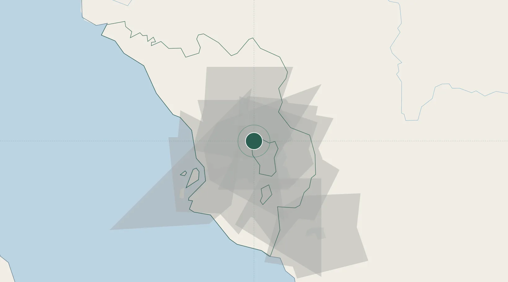
Kuala Lumpur
Population
85,960
Time zone
Asia/Kuala_Lumpur
Elevation
79 m
Location
Nearby Logistics Neighbours
Cities
- 1Sungai Buluh6 km
- 2Bandar Baru Selayang6 km
- 3Damansara9 km
- 4Rawang12 km
- 5Sungai Way15 km
Ports
- 1Port Klang35 km
- 2Port Dickson78 km
- 3Teluk Anson112 km
- 4Pelabuhan Sungai Udang121 km
- 5Melaka132 km
Airports
Trade Zones
DatabookThe Record of Consolidated Knowledge
Malaysia beyond logistics?