Transport Functions
Rail
Road
Hub Profile
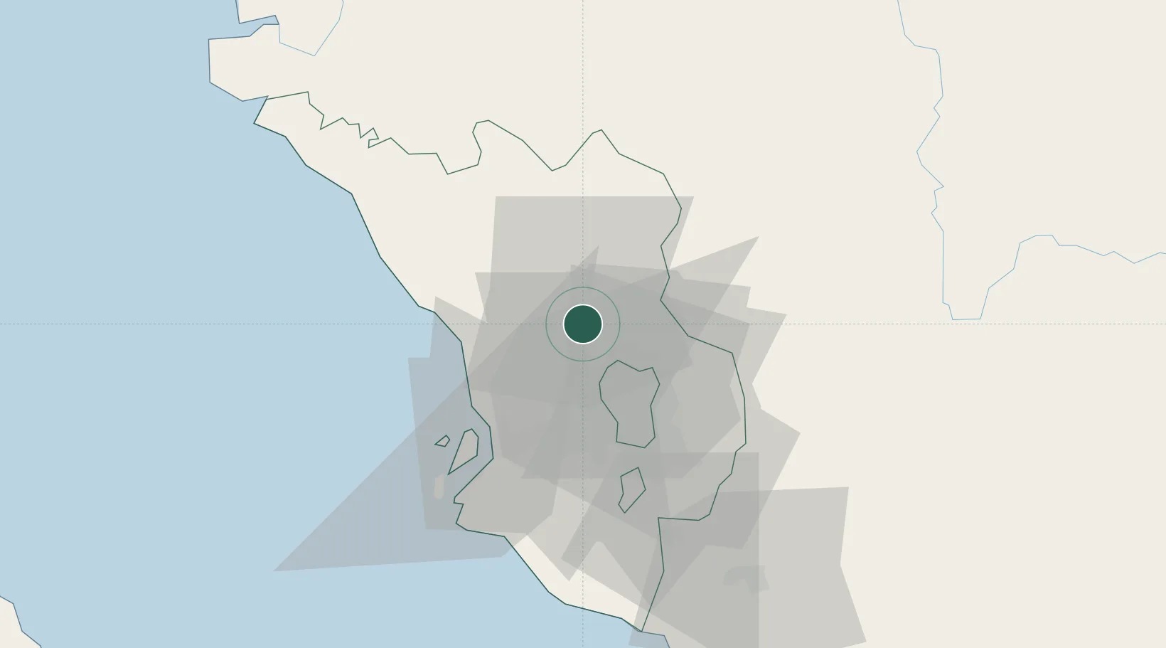
Place type
Populated place
Region
Selangor
Population
199,095
Time zone
Asia/Kuala_Lumpur
Elevation
38 m
Location
Nearby Logistics Neighbours
Cities
- 1Bandar Baru Selayang9 km
- 2Kepong12 km
- 3Sungai Buluh13 km
- 4Batang Kali18 km
- 5Damansara21 km
Ports
- 1Port Klang41 km
- 2Port Dickson90 km
- 3Teluk Anson100 km
- 4Pelabuhan Sungai Udang133 km
- 5Melaka145 km
Airports
Trade Zones
DatabookThe Record of Consolidated Knowledge
Malaysia beyond logistics?