Transport Functions
Multimodal
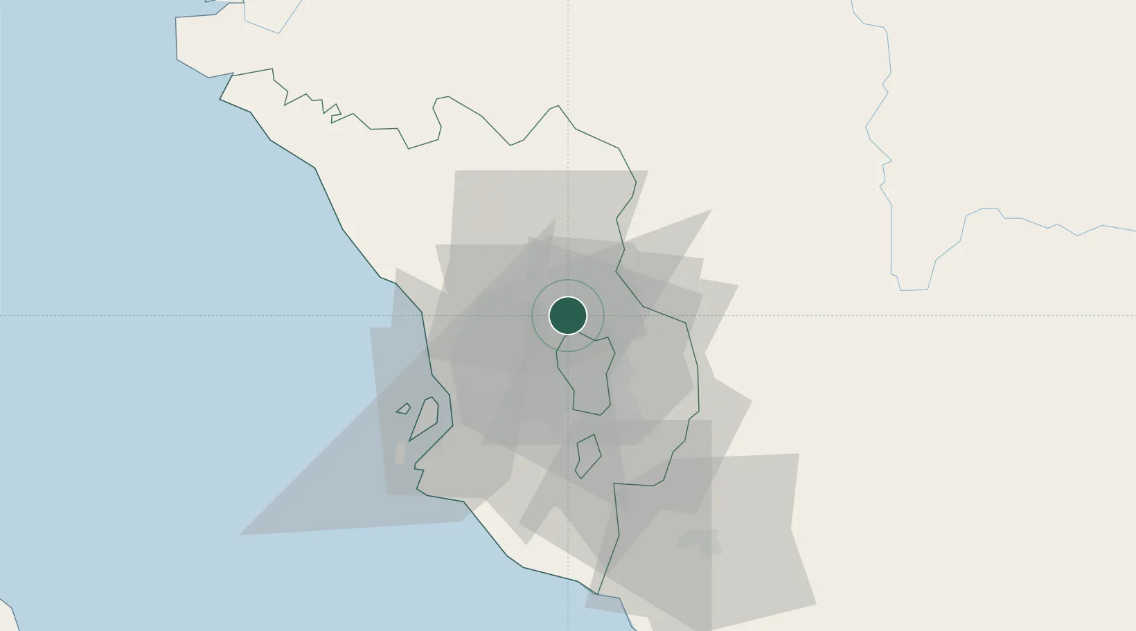
Hub Profile
Region
10
Location
Nearby Logistics Neighbours
Cities
- 1Kepong6 km
- 2Rawang9 km
- 3Sungai Buluh11 km
- 4Damansara15 km
- 5Sungai Way21 km
Ports
- 1Port Klang41 km
- 2Port Dickson83 km
- 3Teluk Anson109 km
- 4Pelabuhan Sungai Udang125 km
- 5Melaka136 km
Airports
Trade Zones
DatabookThe Record of Consolidated Knowledge
Malaysia beyond logistics?