Diversified Zone · Malaysia

Eco Business Park V Under Development
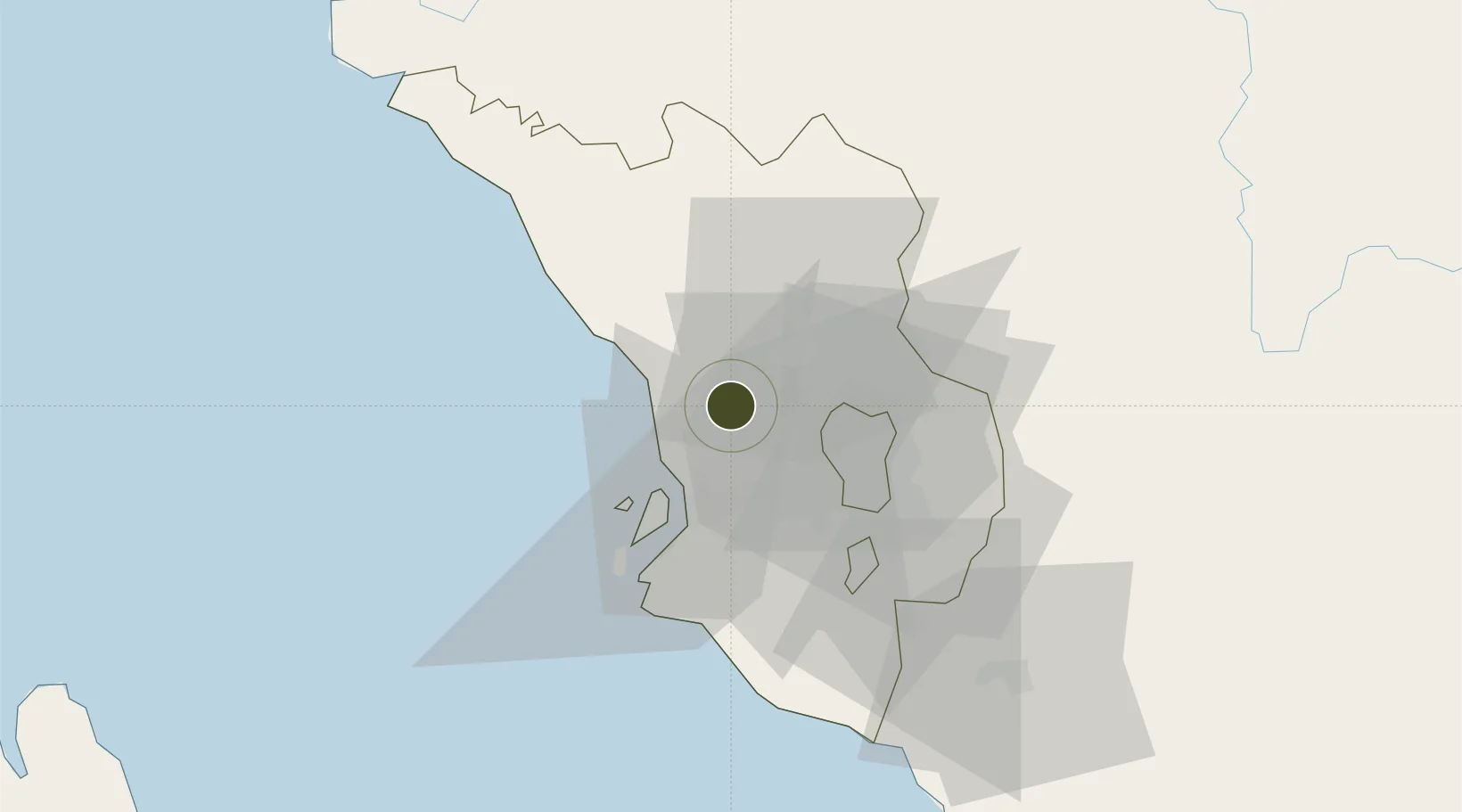
3.2263°, 101.4541°
209 ha
Zone area
25.9 km
Nearest port
15.0 km
Nearest airport

Gateway access

Nearest neighbours — logibook spatial index (haversine) over the source coordinates

Zone profile

Zone type
Diversified Zone
Open Zone Map
Region
Selangor
Open Zone Map
Status
Under Development
Open Zone Map
Management
Private
Open Zone Map
Operator
EcoWorld Development Group Berhad
Open Zone Map
Legal framework
Promotion of Investments Act 1986 and the Income Tax Act 1967.
Open Zone Map

Location

Location of ozm-2761
Natural Earth 10m (public domain) · Selangor · ozm-2761 · 3.23, 101.45GoogleOSMYandex

Nearby Logistics Neighbours

Ports
  1. 1Port Klang26 km
  2. 2Port Dickson85 km
  3. 3Teluk Anson100 km
  4. 4Pelabuhan Sungai Udang132 km
  5. 5Lumut144 km
Nearest neighbours — logibook spatial index (haversine) over the source coordinates
Airports
  1. 1Sultan Abdul Aziz Shah International Airport15 km
  2. 2Kuala Lumpur International Airport61 km
  3. 3Malacca International Airport139 km
  4. 4Pulau Pangkor Airport151 km
  5. 5Sultan Azlan Shah Airport154 km
Nearest neighbours — logibook spatial index (haversine) over the source coordinates
Cities
  1. 1Bukit Raja14 km
  2. 2Sungai Buluh15 km
  3. 3Rawang18 km
  4. 4Kepong20 km
  5. 5Klang22 km
Nearest neighbours — logibook spatial index (haversine) over the source coordinates
Trade Zones
  1. 1Bukit Raja Industrial Park18 km
  2. 2Malaysian Vision Valley 2.023 km
  3. 3Sungai Way Free Industrial Zone, Wpkl23 km
  4. 4Southpoint Free Zone24 km
  5. 5Northport Free Zone25 km
Nearest neighbours — logibook spatial index (haversine) over the source coordinates
DatabookThe Record of Consolidated Knowledge
Malaysia beyond logistics?
Browse databook

All Sources

Trade ZonesOpen Zone Map
CC BY
Portsthe NGA World Port Index
Public domain (US gov)
AirportsOurAirports
Public domain
LocationsUN/LOCODE
UN/LOCODE — free
← Malaysia trade zones