Diversified Zone · Malaysia

Bukit Raja Industrial Park Active
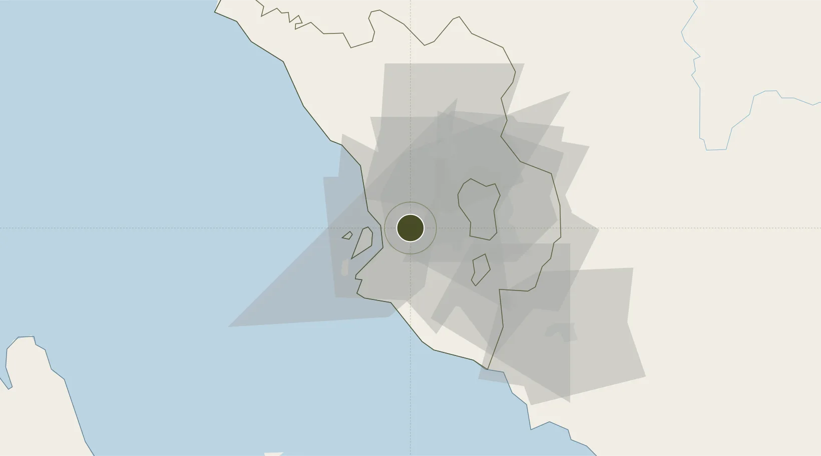
3.0675°, 101.4643°
351 ha
Zone area
10.4 km
Nearest port
11.7 km
Nearest airport

Gateway access

Nearest neighbours — logibook spatial index (haversine) over the source coordinates

Zone profile

Zone type
Diversified Zone
Open Zone Map
Region
Selangor
Open Zone Map
Status
Active
Open Zone Map
Management
Public-Private Partnership
Open Zone Map
Operator
Sime Darby Property
Open Zone Map
Legal framework
Promotion of Investments Act 1986 and the Income Tax Act 1967.
Open Zone Map

Location

Location of ozm-2763
Natural Earth 10m (public domain) · Selangor · ozm-2763 · 3.07, 101.46GoogleOSMYandex

Nearby Logistics Neighbours

Ports
  1. 1Port Klang10 km
  2. 2Port Dickson69 km
  3. 3Teluk Anson117 km
  4. 4Pelabuhan Sungai Udang117 km
  5. 5Melaka130 km
Nearest neighbours — logibook spatial index (haversine) over the source coordinates
Airports
  1. 1Sultan Abdul Aziz Shah International Airport12 km
  2. 2Kuala Lumpur International Airport45 km
  3. 3Malacca International Airport125 km
  4. 4Pinang Kampai Airport162 km
  5. 5Pulau Pangkor Airport165 km
Nearest neighbours — logibook spatial index (haversine) over the source coordinates
Cities
  1. 1Klang4 km
  2. 2Bukit Raja5 km
  3. 3Port Klang (Pelabuhan Klang)12 km
  4. 4Port Klang (Ferry Port)12 km
  5. 5Subang Jaya13 km
Nearest neighbours — logibook spatial index (haversine) over the source coordinates
Trade Zones
  1. 1Southpoint Free Zone7 km
  2. 2Northport Free Zone13 km
  3. 3Sungai Way Free Industrial Zone, Wpkl16 km
  4. 4Telok Panglima Garang Free Industrial Zone17 km
  5. 5Eco Business Park V18 km
Nearest neighbours — logibook spatial index (haversine) over the source coordinates
DatabookThe Record of Consolidated Knowledge
Malaysia beyond logistics?
Browse databook

All Sources

Trade ZonesOpen Zone Map
CC BY
Portsthe NGA World Port Index
Public domain (US gov)
AirportsOurAirports
Public domain
LocationsUN/LOCODE
UN/LOCODE — free
← Malaysia trade zones