UN/LOCODE hub · Malaysia
MYLAP

Langkap

4.0833°, 101.2500°
2
Transport functions

Transport Functions

Rail
Road
UN/LOCODE

Hub Profile

Region
08
GeoNames

Location

Location of MYLAP
Natural Earth 10m (public domain) · 08 · MYLAP · 4.08, 101.25GoogleOSMYandex

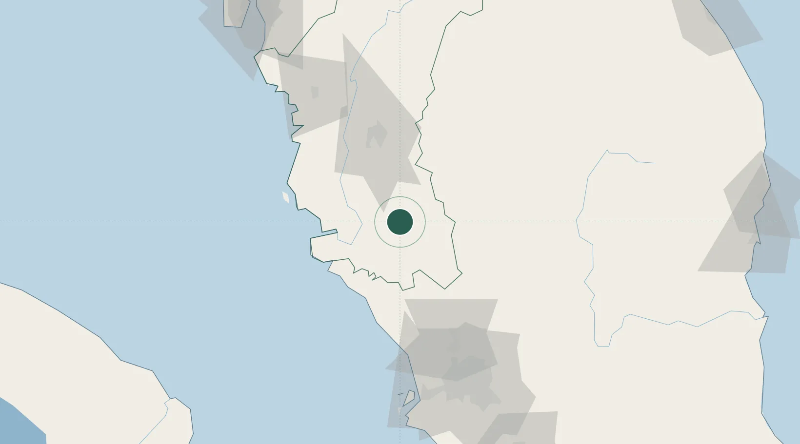
Nearby Logistics Neighbours

Cities
  1. 1Hutan Melintang42 km
  2. 2Teronoh47 km
  3. 3Batu Gajah48 km
  4. 4Tanjung Malim52 km
  5. 5Selekoh55 km
Nearest neighbours — logibook spatial index (haversine) over the source coordinates
Ports
  1. 1Teluk Anson27 km
  2. 2Lumut70 km
  3. 3Port Klang122 km
  4. 4Pulau Pinang179 km
  5. 5Port Dickson182 km
Nearest neighbours — logibook spatial index (haversine) over the source coordinates
Airports
  1. 1Sultan Azlan Shah Airport57 km
  2. 2Pulau Pangkor Airport79 km
  3. 3Sultan Abdul Aziz Shah International Airport111 km
  4. 4Kuala Lumpur International Airport157 km
  5. 5Penang International Airport173 km
Nearest neighbours — logibook spatial index (haversine) over the source coordinates
Trade Zones
  1. 1Jelapang Ii64 km
  2. 2Kinta Free Industrial Zone67 km
  3. 3Eco Business Park V98 km
  4. 4Malaysian Vision Valley 2.0115 km
  5. 5Bukit Raja Industrial Park115 km
Nearest neighbours — logibook spatial index (haversine) over the source coordinates
DatabookThe Record of Consolidated Knowledge
Malaysia beyond logistics?
Browse databook

All Sources

LocationsUN/LOCODE
UN/LOCODE — free
Portsthe NGA World Port Index
Public domain (US gov)
AirportsOurAirports
Public domain
Trade Zonesthe World Bank SEZ database
CC BY 4.0
Trade ZonesOpen Zone Map
CC BY
← Malaysia locations