Free Trade Zone · Malaysia

Sungai Way Free Industrial Zone, Wpkl Active
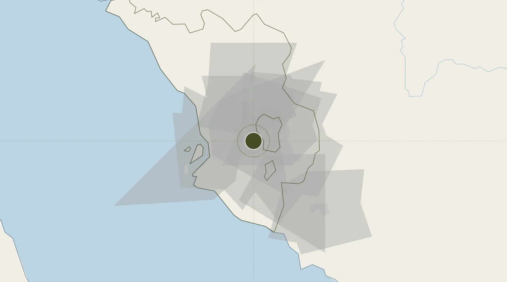
3.0872°, 101.6095°
81 ha
Zone area
25.2 km
Nearest port
8.3 km
Nearest airport

Gateway access

Nearest neighbours — logibook spatial index (haversine) over the source coordinates

Zone profile

Zone type
Free Trade Zone
Open Zone Map
Region
Selangor
Open Zone Map
Status
Active
Open Zone Map
Management
Public
Open Zone Map
Operator
Petaling Jaya City Council
Open Zone Map
Legal framework
Free Zones Act of 1990 (Act 438)
Open Zone Map

Location

Location of ozm-2798
Natural Earth 10m (public domain) · Selangor · ozm-2798 · 3.09, 101.61GoogleOSMYandex

Nearby Logistics Neighbours

Ports
  1. 1Port Klang25 km
  2. 2Port Dickson65 km
  3. 3Pelabuhan Sungai Udang110 km
  4. 4Melaka122 km
  5. 5Teluk Anson123 km
Nearest neighbours — logibook spatial index (haversine) over the source coordinates
Airports
  1. 1Sultan Abdul Aziz Shah International Airport8 km
  2. 2Kuala Lumpur International Airport40 km
  3. 3Malacca International Airport116 km
  4. 4Pinang Kampai Airport166 km
  5. 5Pulau Pangkor Airport174 km
Nearest neighbours — logibook spatial index (haversine) over the source coordinates
Cities
  1. 1Sungai Way1 km
  2. 2Subang Jaya4 km
  3. 3Damansara6 km
  4. 4Pandamaran13 km
  5. 5Seri Kembangan13 km
Nearest neighbours — logibook spatial index (haversine) over the source coordinates
Trade Zones
  1. 1Malaysian Vision Valley 2.04 km
  2. 2Bukit Raja Industrial Park16 km
  3. 3Multimedia Super-Corridor19 km
  4. 4Southpoint Free Zone20 km
  5. 5Eco Business Park V23 km
Nearest neighbours — logibook spatial index (haversine) over the source coordinates
DatabookThe Record of Consolidated Knowledge
Malaysia beyond logistics?
Browse databook

All Sources

Trade ZonesOpen Zone Map
CC BY
Portsthe NGA World Port Index
Public domain (US gov)
AirportsOurAirports
Public domain
LocationsUN/LOCODE
UN/LOCODE — free
← Malaysia trade zones