Transport Functions
Port
Hub Profile
Place type
Populated place
Region
Selangor
Population
3,601
Time zone
Asia/Kuala_Lumpur
Elevation
41 m
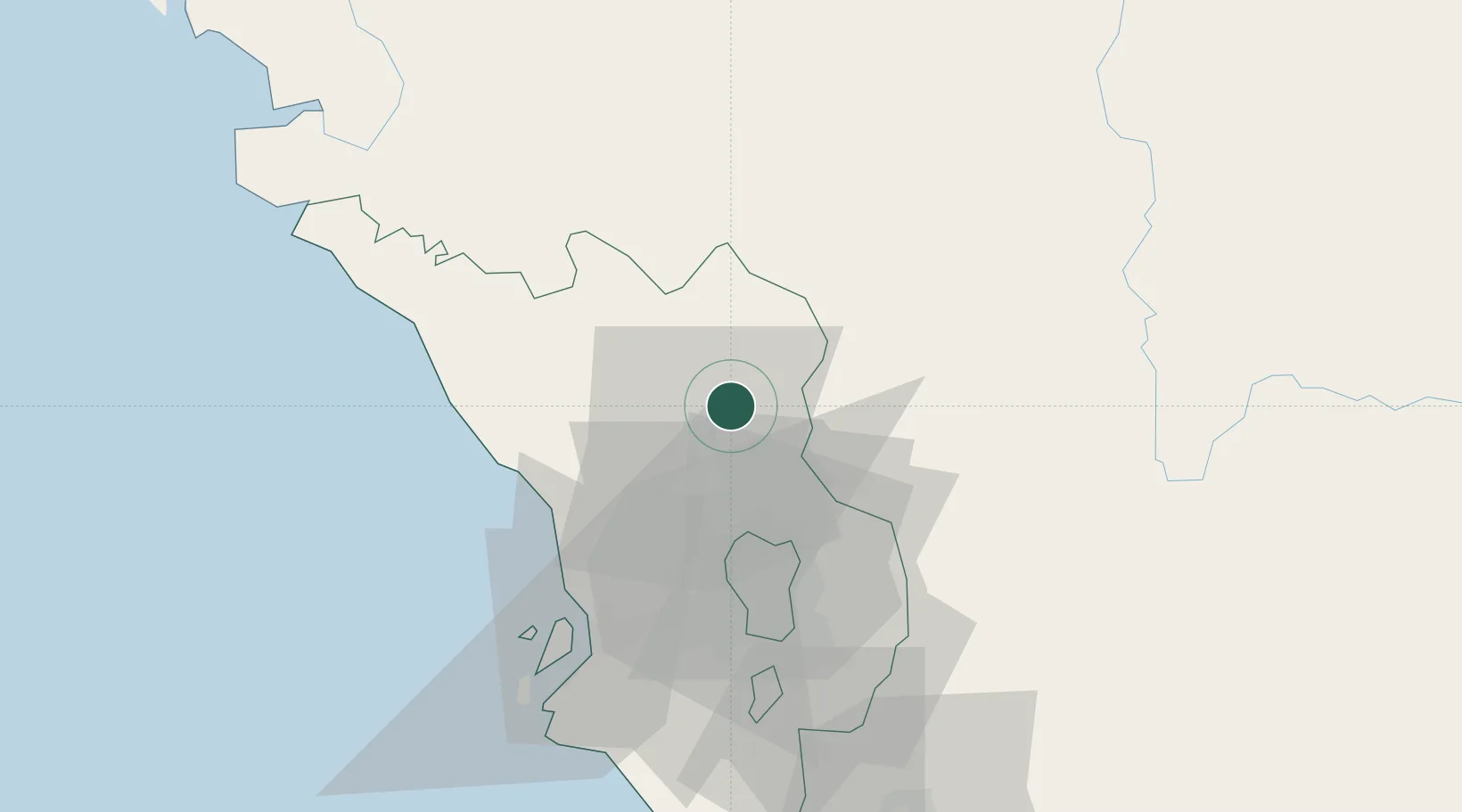
Location
Nearby Logistics Neighbours
Cities
- 1Rawang18 km
- 2Bandar Baru Selayang22 km
- 3Kepong28 km
- 4Tanjung Malim28 km
- 5Sungai Buluh30 km
Ports
- 1Port Klang58 km
- 2Teluk Anson92 km
- 3Port Dickson105 km
- 4Lumut140 km
- 5Pelabuhan Sungai Udang146 km
Airports
Trade Zones
DatabookThe Record of Consolidated Knowledge
Malaysia beyond logistics?