UN/LOCODE hub · Malaysia
MYSBL

Sungai Buluh

3.2000°, 101.5833°
2
Transport functions

Transport Functions

Rail
Road
UN/LOCODE

Hub Profile

Region
10
GeoNames

Location

Location of MYSBL
Natural Earth 10m (public domain) · 10 · MYSBL · 3.20, 101.58GoogleOSMYandex

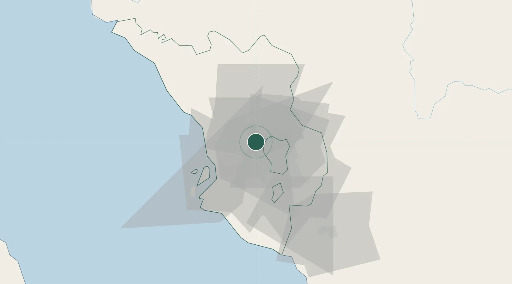
Nearby Logistics Neighbours

Cities
  1. 1Kepong6 km
  2. 2Damansara9 km
  3. 3Bandar Baru Selayang11 km
  4. 4Rawang13 km
  5. 5Sungai Way14 km
Nearest neighbours — logibook spatial index (haversine) over the source coordinates
Ports
  1. 1Port Klang30 km
  2. 2Port Dickson77 km
  3. 3Teluk Anson111 km
  4. 4Pelabuhan Sungai Udang122 km
  5. 5Melaka134 km
Nearest neighbours — logibook spatial index (haversine) over the source coordinates
Airports
  1. 1Sultan Abdul Aziz Shah International Airport9 km
  2. 2Kuala Lumpur International Airport53 km
  3. 3Malacca International Airport128 km
  4. 4Sultan Azlan Shah Airport162 km
  5. 5Pulau Pangkor Airport163 km
Nearest neighbours — logibook spatial index (haversine) over the source coordinates
Trade Zones
  1. 1Malaysian Vision Valley 2.010 km
  2. 2Sungai Way Free Industrial Zone, Wpkl13 km
  3. 3Eco Business Park V15 km
  4. 4Bukit Raja Industrial Park20 km
  5. 5Southpoint Free Zone26 km
Nearest neighbours — logibook spatial index (haversine) over the source coordinates
DatabookThe Record of Consolidated Knowledge
Malaysia beyond logistics?
Browse databook

All Sources

LocationsUN/LOCODE
UN/LOCODE — free
Portsthe NGA World Port Index
Public domain (US gov)
AirportsOurAirports
Public domain
Trade Zonesthe World Bank SEZ database
CC BY 4.0
Trade ZonesOpen Zone Map
CC BY
← Malaysia locations