Transport Functions
Multimodal
Hub Profile
Place type
Populated place
Region
Selangor
Time zone
Asia/Kuala_Lumpur
Elevation
16 m
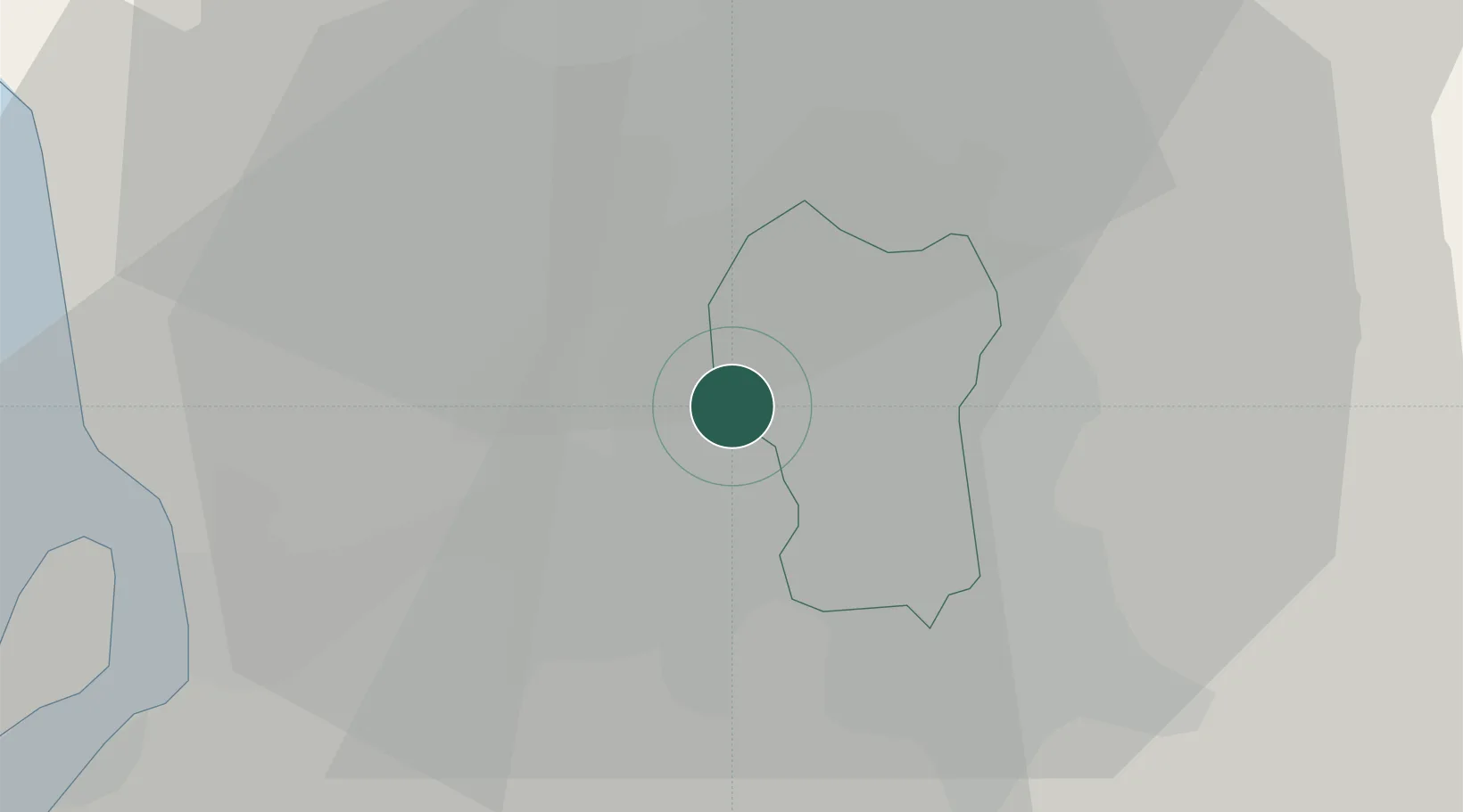
Location
Nearby Logistics Neighbours
Cities
- 1Sungai Way6 km
- 2Sungai Buluh9 km
- 3Subang Jaya9 km
- 4Kepong9 km
- 5Pandamaran15 km
Ports
- 1Port Klang30 km
- 2Port Dickson69 km
- 3Pelabuhan Sungai Udang113 km
- 4Teluk Anson120 km
- 5Melaka124 km
Airports
Trade Zones
DatabookThe Record of Consolidated Knowledge
Malaysia beyond logistics?