Transport Functions
Rail
Road
Hub Profile
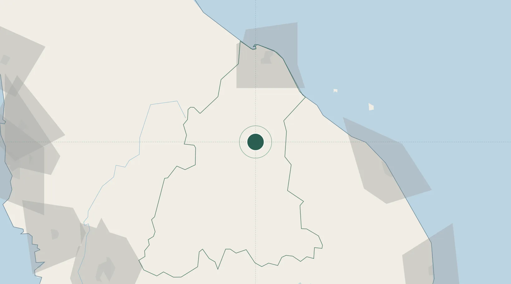
Place type
Populated place
Region
Kelantan
Population
105,007
Time zone
Asia/Kuala_Lumpur
Elevation
36 m
Location
Nearby Logistics Neighbours
Cities
- 1Bahau26 km
- 2Tanah Merah30 km
- 3Jertih43 km
- 4Kuala Besut54 km
- 5Gua Musang76 km
Ports
- 1Kuala Trengganu107 km
- 2Pattani185 km
- 3Kemaman Harbor201 km
- 4Pulau Pinang203 km
- 5Teluk Anson213 km
Airports
- 1Sultan Ismail Petra Airport72 km
- 2Sultan Mahmud Airport103 km
- 3Betong International Airport118 km
- 4Narathiwat Airport120 km
- 5Sultan Azlan Shah Airport162 km
Trade Zones
DatabookThe Record of Consolidated Knowledge
Malaysia beyond logistics?