Transport Functions
Multimodal
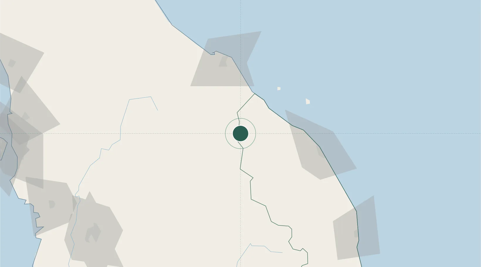
Hub Profile
Place type
Populated place
Region
Negeri Sembilan
Population
31,273
Time zone
Asia/Kuala_Lumpur
Elevation
63 m
Location
Nearby Logistics Neighbours
Cities
- 1Kuala Krai26 km
- 2Jertih29 km
- 3Kuala Besut41 km
- 4Tanah Merah46 km
- 5Gua Musang85 km
Ports
- 1Kuala Trengganu81 km
- 2Kemaman Harbor181 km
- 3Pattani203 km
- 4Kuantan New Port204 km
- 5Teluk Anson226 km
Airports
- 1Sultan Ismail Petra Airport75 km
- 2Sultan Mahmud Airport77 km
- 3Narathiwat Airport136 km
- 4Betong International Airport144 km
- 5Kerteh Airport155 km
Trade Zones
DatabookThe Record of Consolidated Knowledge
Malaysia beyond logistics?