Transport Functions
Rail
Road
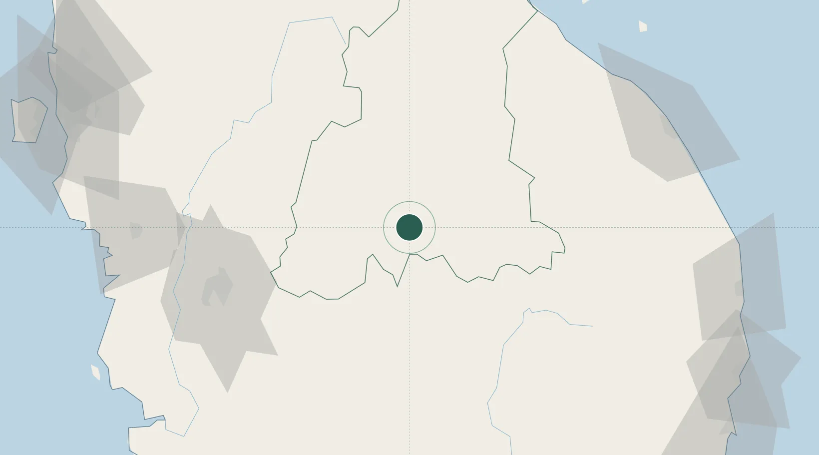
Hub Profile
Place type
Populated place
Region
Kelantan
Population
19,731
Time zone
Asia/Kuala_Lumpur
Elevation
90 m
Location
Nearby Logistics Neighbours
Cities
- 1Kuala Krai76 km
- 2Bahau85 km
- 3Kampong Tasek100 km
- 4Falim101 km
- 5Tanah Merah104 km
Ports
- 1Kuala Trengganu139 km
- 2Teluk Anson143 km
- 3Lumut165 km
- 4Kemaman Harbor181 km
- 5Pulau Pinang189 km
Airports
- 1Sultan Azlan Shah Airport103 km
- 2Betong International Airport135 km
- 3Sultan Mahmud Airport138 km
- 4Sultan Ismail Petra Airport147 km
- 5Kerteh Airport166 km
Trade Zones
DatabookThe Record of Consolidated Knowledge
Malaysia beyond logistics?