Transport Functions
Rail
Road
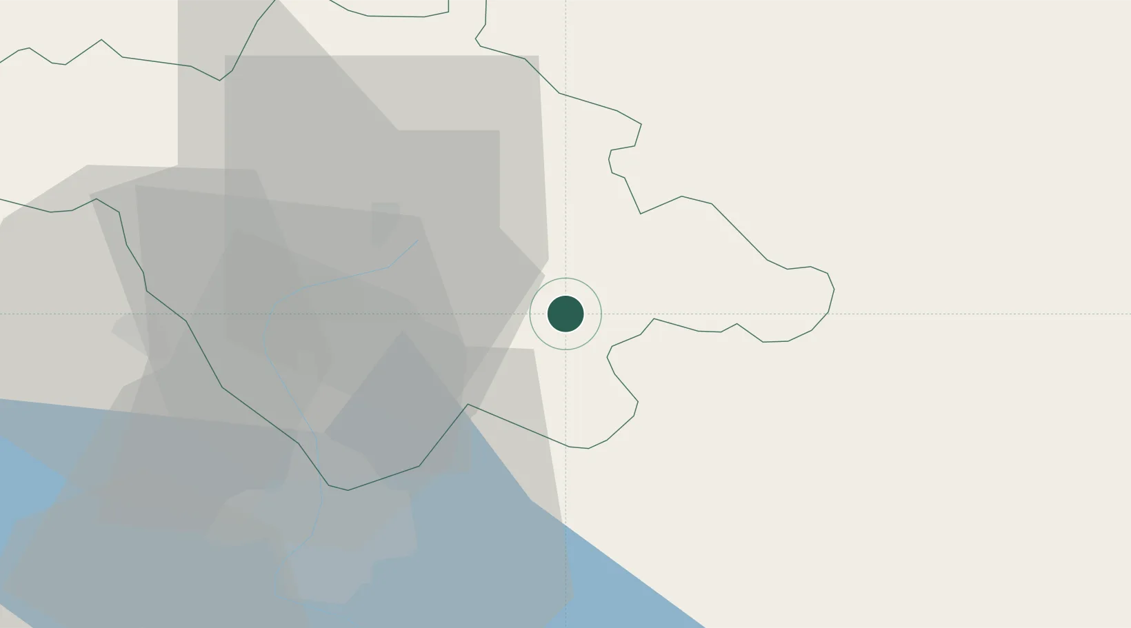
Hub Profile
Place type
Provincial seat
Region
Tlaxcala
Population
51,996
Time zone
America/Mexico_City
Elevation
2,519 m
Location
Nearby Logistics Neighbours
Cities
- 1Acajete24 km
- 2Tiaxcala34 km
- 3San Miguel Xoxtla41 km
- 4Acatzingo43 km
- 5Cuautinchan44 km
Airports
DatabookThe Record of Consolidated Knowledge
Mexico beyond logistics?