Transport Functions
Rail
Road
Airport
Hub Profile
Place type
Populated place
Region
Guanajuato
Population
6
Time zone
America/Mexico_City
Elevation
1,857 m
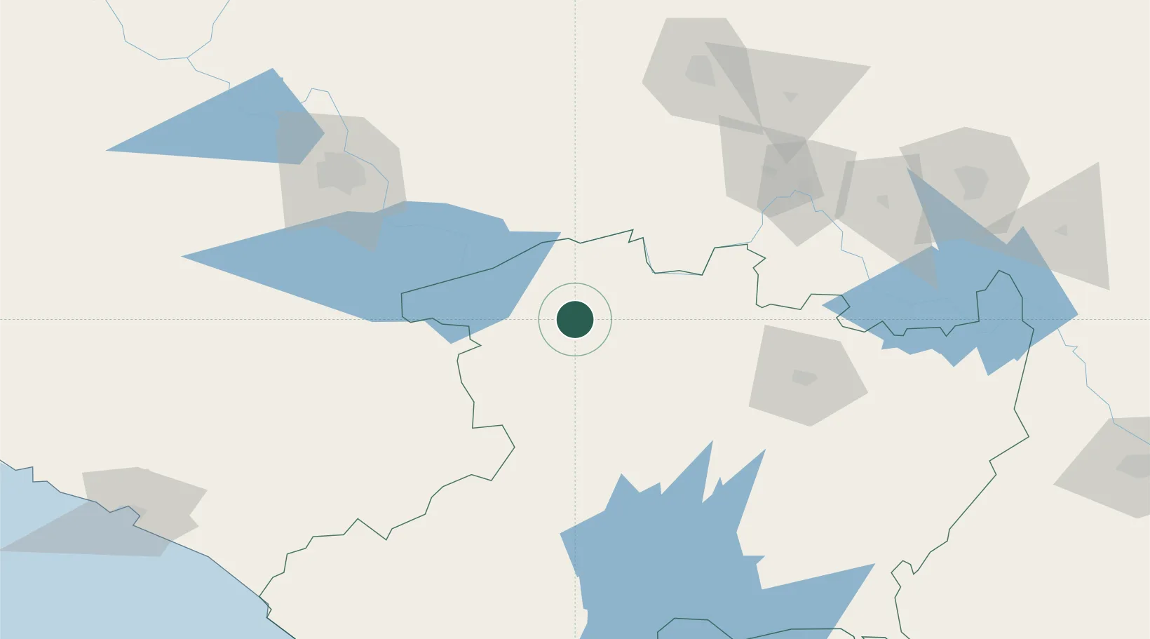
Location
Nearby Logistics Neighbours
Cities
- 1Santiago Tangamandapio18 km
- 2Ecuandureo22 km
- 3Tingüindín37 km
- 4Jiquilpan de Juarez47 km
- 5La Piedad de Cabadas49 km
Ports
- 1Lazaro Cardenas228 km
- 2Manzanillo239 km
- 3Puerto Vallarta321 km
- 4Acapulco427 km
- 5Tuxpan518 km
Airports
Trade Zones
- 1The Special Economic Zone of Lázaro Cárdenas - La Unión229 km
- 2FTZ No. 095 Starr County794 km
- 3FTZ No. 012 McAllen798 km
- 4FTZ No. 156 Weslaco812 km
- 5FTZ No. 157 Casper812 km
DatabookThe Record of Consolidated Knowledge
Mexico beyond logistics?