UN/LOCODE hub · Mexico
MXJIQ
Jiquilpan de Juarez
19.9833°, -102.7167°
24,233
Population
1
Transport functions
Transport Functions
Multimodal
Hub Profile
Place type
Provincial seat
Region
Michoacán
Population
24,233
Time zone
America/Mexico_City
Elevation
1,598 m
Location
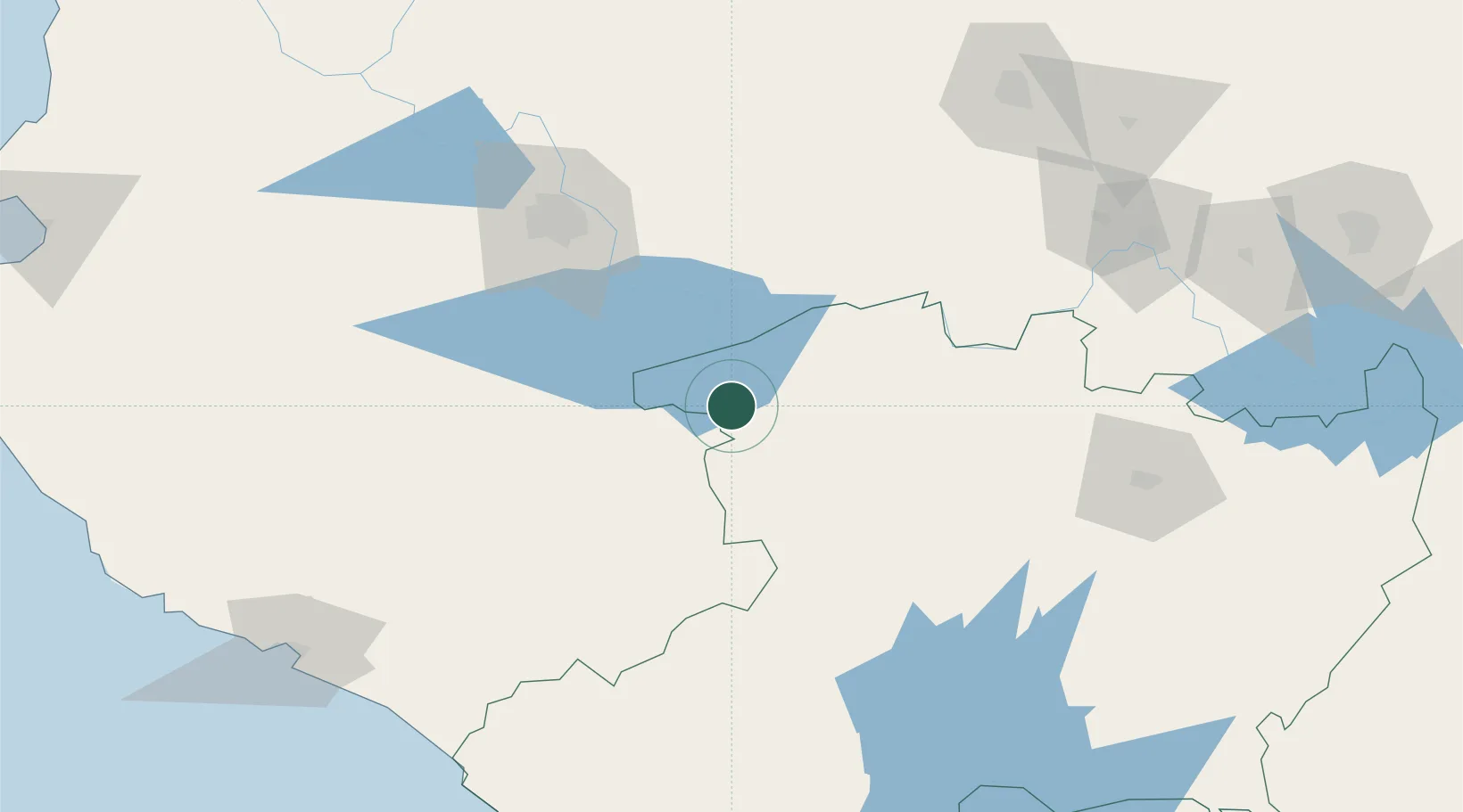
Nearby Logistics Neighbours
Cities
- 1Santiago Tangamandapio30 km
- 2Mazamitla34 km
- 3Tingüindín36 km
- 4Ocotlan39 km
- 5Zamora47 km
Ports
- 1Manzanillo197 km
- 2Lazaro Cardenas235 km
- 3Puerto Vallarta275 km
- 4Acapulco456 km
- 5Mazatlan524 km
Airports
Trade Zones
- 1The Special Economic Zone of Lázaro Cárdenas - La Unión236 km
- 2FTZ No. 095 Starr County815 km
- 3FTZ No. 012 McAllen823 km
- 4FTZ No. 156 Weslaco838 km
- 5FTZ No. 157 Casper838 km
DatabookThe Record of Consolidated Knowledge
Mexico beyond logistics?