UN/LOCODE hub · Mexico
MXECU

Ecuandureo

20.1667°, -102.2000°
4,716
Population
2
Transport functions

Transport Functions

Rail
Road
UN/LOCODE

Hub Profile

Place type
Provincial seat
GeoNames
Region
Michoacán
GeoNames
Population
4,716
GeoNames
Time zone
America/Mexico_City
GeoNames
Elevation
1,589 m
GeoNames

Location

Location of MXECU
Natural Earth 10m (public domain) · Michoacán · MXECU · 20.17, -102.20GoogleOSMYandex

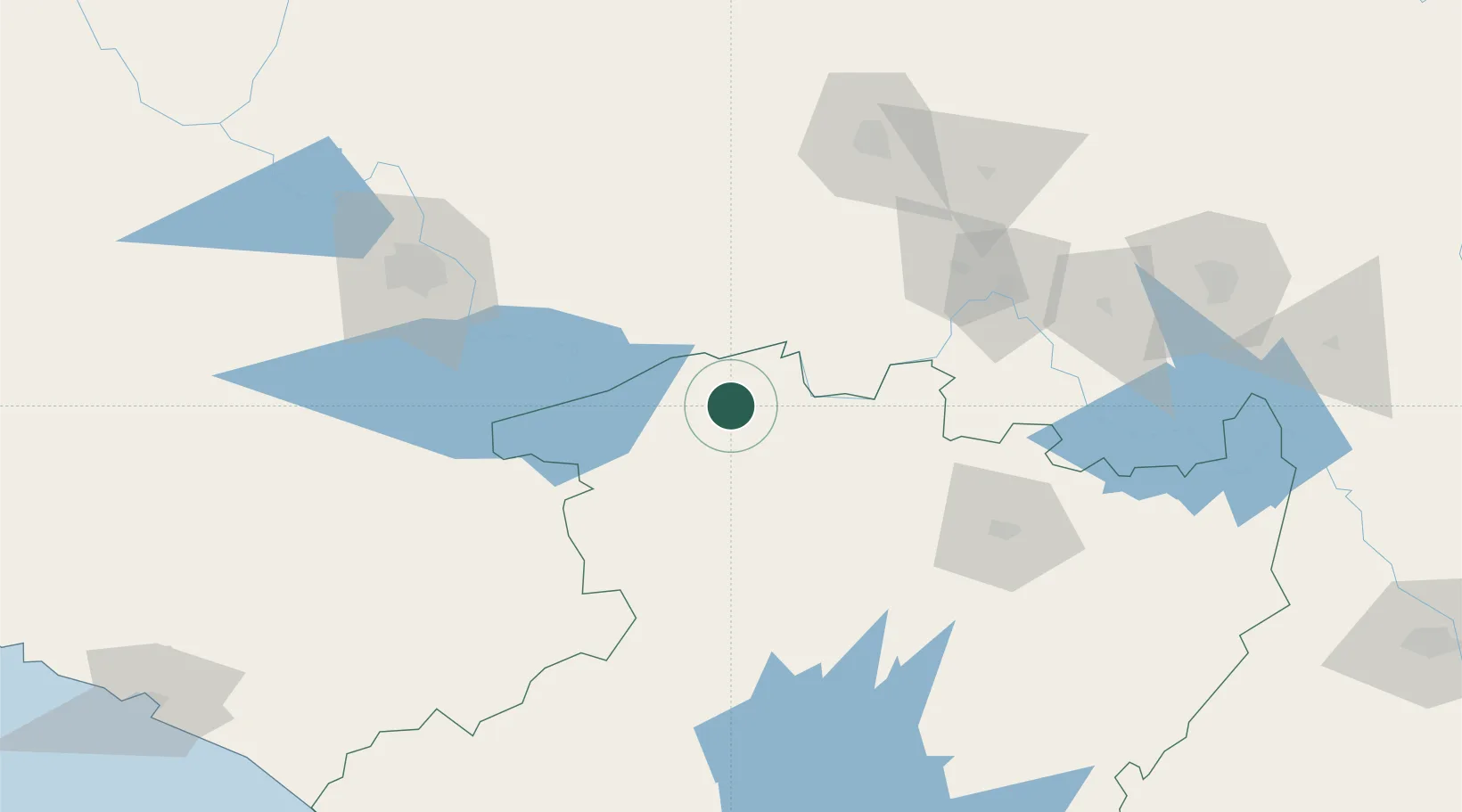
Nearby Logistics Neighbours

Cities
  1. 1Zamora22 km
  2. 2La Piedad de Cabadas29 km
  3. 3Santiago Tangamandapio34 km
  4. 4Atotonilco el Alto53 km
  5. 5Tingüindín58 km
Nearest neighbours — logibook spatial index (haversine) over the source coordinates
Ports
  1. 1Lazaro Cardenas248 km
  2. 2Manzanillo254 km
  3. 3Puerto Vallarta324 km
  4. 4Acapulco439 km
  5. 5Tampico504 km
Nearest neighbours — logibook spatial index (haversine) over the source coordinates
Trade Zones
  1. 1The Special Economic Zone of Lázaro Cárdenas - La Unión249 km
  2. 2FTZ No. 095 Starr County772 km
  3. 3FTZ No. 012 McAllen777 km
  4. 4FTZ No. 156 Weslaco791 km
  5. 5FTZ No. 157 Casper791 km
Nearest neighbours — logibook spatial index (haversine) over the source coordinates
DatabookThe Record of Consolidated Knowledge
Mexico beyond logistics?
Browse databook

All Sources

LocationsUN/LOCODE
UN/LOCODE — free
LocationsGeoNames
CC BY 4.0
Portsthe NGA World Port Index
Public domain (US gov)
AirportsOurAirports
Public domain
Trade Zonesthe World Bank SEZ database
CC BY 4.0
Trade ZonesOpen Zone Map
CC BY
← Mexico locations