UN/LOCODE hub · Mexico
MXTIN

Tingüindín

19.7333°, -102.5000°
2
Transport functions

Transport Functions

Rail
Road
UN/LOCODE

Hub Profile

Region
MIC
GeoNames

Location

Location of MXTIN
Natural Earth 10m (public domain) · MIC · MXTIN · 19.73, -102.50GoogleOSMYandex

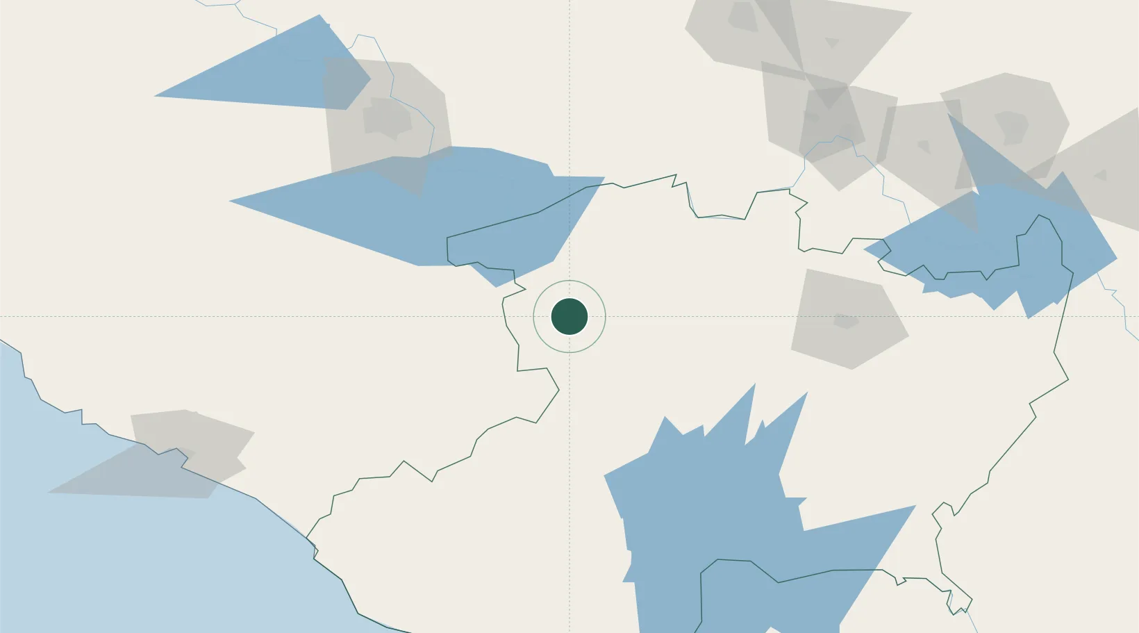
Nearby Logistics Neighbours

Cities
  1. 1Periban23 km
  2. 2Santiago Tangamandapio25 km
  3. 3Jiquilpan de Juarez36 km
  4. 4Zamora37 km
  5. 5Uruapan del Progreso58 km
Nearest neighbours — logibook spatial index (haversine) over the source coordinates
Ports
  1. 1Lazaro Cardenas203 km
  2. 2Manzanillo205 km
  3. 3Puerto Vallarta305 km
  4. 4Acapulco420 km
  5. 5Tuxpan549 km
Nearest neighbours — logibook spatial index (haversine) over the source coordinates
Trade Zones
  1. 1The Special Economic Zone of Lázaro Cárdenas - La Unión204 km
  2. 2FTZ No. 095 Starr County829 km
  3. 3FTZ No. 012 McAllen835 km
  4. 4FTZ No. 156 Weslaco849 km
  5. 5FTZ No. 157 Casper849 km
Nearest neighbours — logibook spatial index (haversine) over the source coordinates
DatabookThe Record of Consolidated Knowledge
Mexico beyond logistics?
Browse databook

All Sources

LocationsUN/LOCODE
UN/LOCODE — free
Portsthe NGA World Port Index
Public domain (US gov)
AirportsOurAirports
Public domain
Trade Zonesthe World Bank SEZ database
CC BY 4.0
Trade ZonesOpen Zone Map
CC BY
← Mexico locations