UN/LOCODE hub · Mexico
MXSGP
Santiago Tangamandapio
19.9500°, -102.4333°
10,463
Population
1
Transport functions
Transport Functions
Multimodal
Hub Profile
Place type
Provincial seat
Region
Michoacán
Population
10,463
Time zone
America/Mexico_City
Elevation
1,673 m
Location
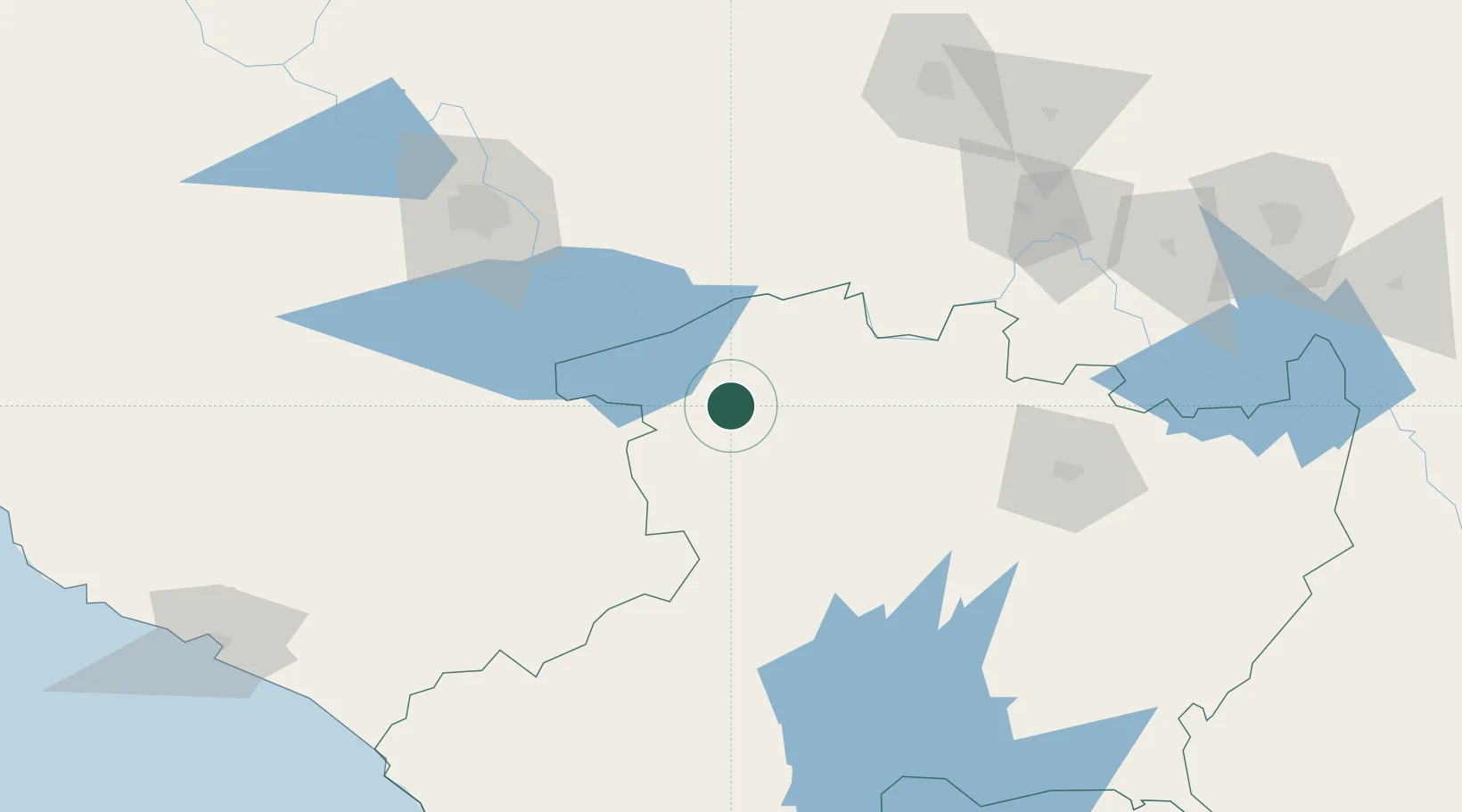
Nearby Logistics Neighbours
Cities
- 1Zamora18 km
- 2Tingüindín25 km
- 3Jiquilpan de Juarez30 km
- 4Ecuandureo34 km
- 5Periban45 km
Ports
- 1Manzanillo221 km
- 2Lazaro Cardenas226 km
- 3Puerto Vallarta305 km
- 4Acapulco434 km
- 5Tuxpan536 km
Airports
Trade Zones
- 1The Special Economic Zone of Lázaro Cárdenas - La Unión227 km
- 2FTZ No. 095 Starr County805 km
- 3FTZ No. 012 McAllen810 km
- 4FTZ No. 156 Weslaco824 km
- 5FTZ No. 157 Casper824 km
DatabookThe Record of Consolidated Knowledge
Mexico beyond logistics?