UN/LOCODE hub · Mexico
MXZMK

San Antonio la Isla

19.1500°, -99.5667°
12,525
Population
1
Transport functions

Transport Functions

Multimodal
UN/LOCODE

Hub Profile

Place type
Provincial seat
GeoNames
Region
México
GeoNames
Population
12,525
GeoNames
Time zone
America/Mexico_City
GeoNames
Elevation
2,589 m
GeoNames

Location

Location of MXZMK
Natural Earth 10m (public domain) · México · MXZMK · 19.15, -99.57GoogleOSMYandex

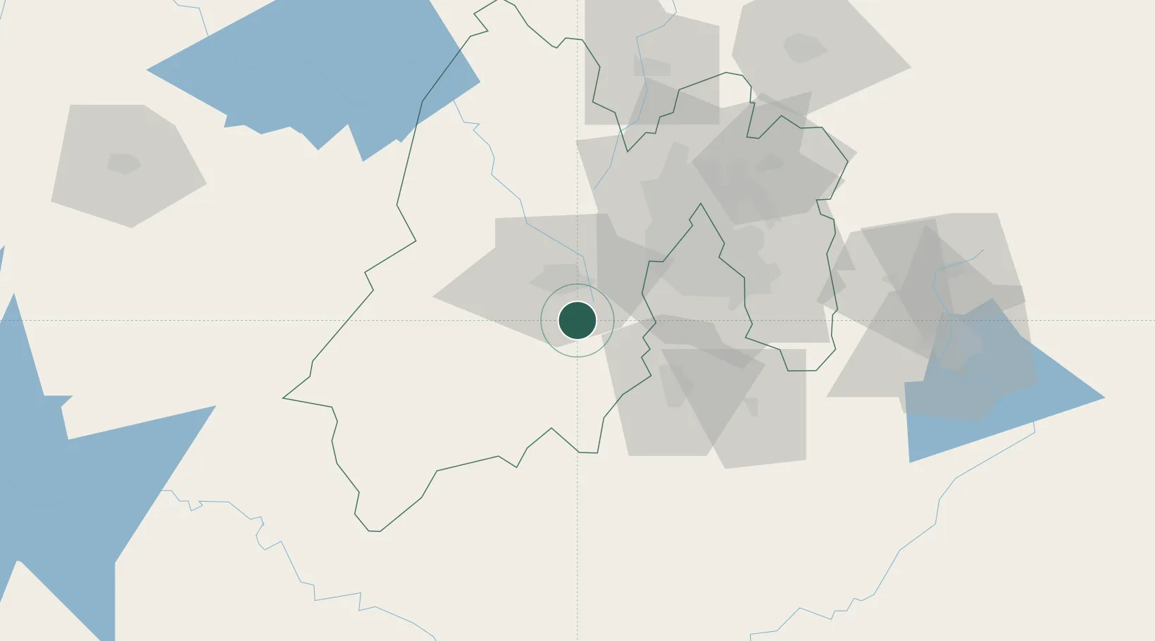
Nearby Logistics Neighbours

Cities
  1. 1San Pedro Totoltepec17 km
  2. 2Ocoyoacac18 km
  3. 3Zinacantepec22 km
  4. 4Zumpahuacán28 km
  5. 5Huixquilucan de Degollado31 km
Nearest neighbours — logibook spatial index (haversine) over the source coordinates
Ports
  1. 1Acapulco259 km
  2. 2Tuxpan302 km
  3. 3Lazaro Cardenas306 km
  4. 4Veracruz361 km
  5. 5Tampico384 km
Nearest neighbours — logibook spatial index (haversine) over the source coordinates
Airports
  1. 1Adolfo López Mateos International Airport21 km
  2. 2General Mariano Matamoros International Airport48 km
  3. 3Helipuerto VZ Flights49 km
  4. 4Helipuerto El Universal54 km
  5. 5Mexico City Benito Juárez International Airport61 km
Nearest neighbours — logibook spatial index (haversine) over the source coordinates
Trade Zones
  1. 1The Special Economic Zone of Lázaro Cárdenas - La Unión307 km
  2. 2Special Economic Zone of Coatzacoalcos546 km
  3. 3Special Economic Zone of Salina Cruz566 km
  4. 4Zona Economica Especial de Tabasco670 km
  5. 5FTZ No. 062 Brownsville788 km
Nearest neighbours — logibook spatial index (haversine) over the source coordinates
DatabookThe Record of Consolidated Knowledge
Mexico beyond logistics?
Browse databook

All Sources

LocationsUN/LOCODE
UN/LOCODE — free
LocationsGeoNames
CC BY 4.0
Portsthe NGA World Port Index
Public domain (US gov)
AirportsOurAirports
Public domain
Trade Zonesthe World Bank SEZ database
CC BY 4.0
Trade ZonesOpen Zone Map
CC BY
← Mexico locations