Transport Functions
Road
Multimodal
Hub Profile
Place type
Populated place
Region
México
Population
4,450
Time zone
America/Mexico_City
Elevation
2,376 m
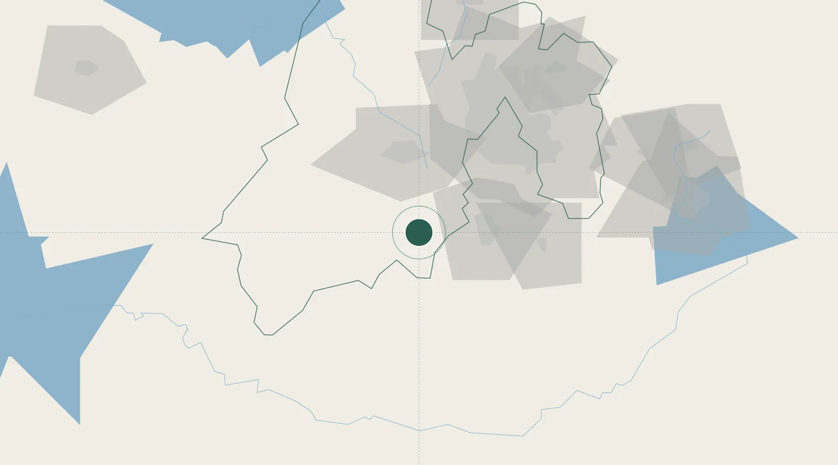
Location
Nearby Logistics Neighbours
Cities
- 1Miacatlan24 km
- 2San Antonio la Isla28 km
- 3Ahuatepec36 km
- 4Xochitepec36 km
- 5Ocoyoacac42 km
Ports
- 1Acapulco232 km
- 2Lazaro Cardenas296 km
- 3Tuxpan320 km
- 4Veracruz361 km
- 5Tampico408 km
Airports
DatabookThe Record of Consolidated Knowledge
Mexico beyond logistics?