Runway & Layout

Airport Specifications
Airport class
Heliport
Scheduled service
Yes
Served city
Miguel Hidalgo
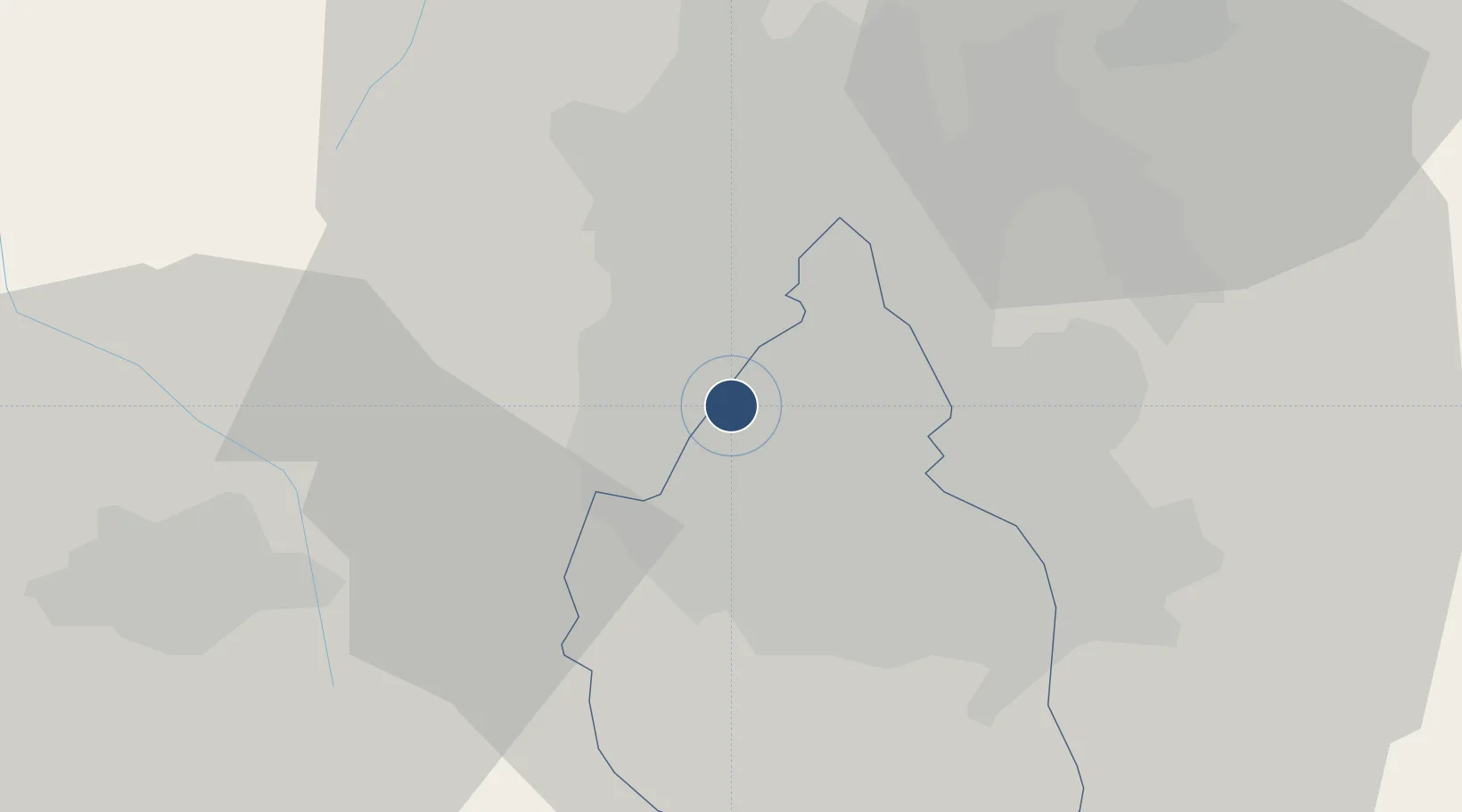
Location
Nearby Logistics Neighbours
Airports
Cities
- 1Azcapotzalco9 km
- 2Tlalnepantla de Baz12 km
- 3Iztacalco14 km
- 4Atizapan de Zaragoza14 km
- 5Xalostoc16 km
Ports
- 1Tuxpan253 km
- 2Acapulco297 km
- 3Veracruz324 km
- 4Tampico340 km
- 5Lazaro Cardenas353 km
DatabookThe Record of Consolidated Knowledge
Mexico beyond logistics?