Large airport · Mexico

Mexico City Benito Juárez International AirportMMMX
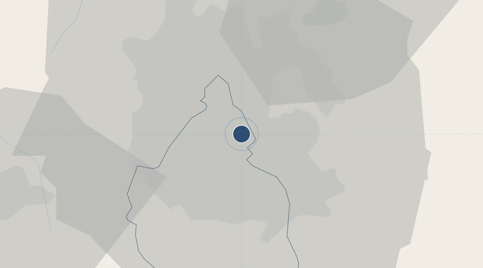
19.4358°, -99.0703°
12,966 ft
Longest runway
2
Runways
7,316 ft
Elevation

Runway & Layout

Mexico City Benito Juárez International Airport runway & taxiway layout
Runway & taxiway layout — OpenStreetMap (ODbL) / OurAirports

Radio Frequencies

ATIS
127.65 MHz
TWR
118.55 MHz
MEXICO TWR
GND
121 MHz
CLD
122.1 MHz
MEXICO CLNC DEL
APP
121.2 MHz
MEXICO APP
DEP
120.5 MHz
MEXICO DEP
ARR
129.6 MHz
MEXICO ARR
RDO
126.9 MHz
MEXICO INFO
OurAirports

Navaids

MEX VOR-DME Mexico 115.60 MHz
MW NDB Plaza 370 kHz
TPX NDB Tepexpan 359 kHz
OurAirports

Runways · 2

RunwayDimensions SurfaceTrue headingLit
05L/23R 12,966 × 148ft Asphalt 059°
05R/23L 12,795 × 148ft Asphalt 059°
OurAirports

Airport Specifications

IATA code
MEX
OurAirports
ICAO code
MMMX
OurAirports
Airport class
Large airport
OurAirports
Scheduled service
Yes
OurAirports
Runway surface
Asphalt
OurAirports
Served city
Mexico City
OurAirports

Location

Location of MMMX
Natural Earth 10m (public domain) · Distrito Federal · MMMX · 19.44, -99.07GoogleOSMYandex

Nearby Logistics Neighbours

Airports
  1. 1Helipuerto Ciudad de México1 km
  2. 2Helipuerto El Universal8 km
  3. 3Helipuerto VZ Flights14 km
  4. 4Base N°1 de la Fuerza Aérea Mexicana (General Alfredo Lezama Álvarez)34 km
  5. 5Felipe Ángeles International Airport35 km
Nearest neighbours — logibook spatial index (haversine) over the source coordinates
Cities
  1. 1Nezahualcóyotl4 km
  2. 2Iztacalco6 km
  3. 3Xalostoc9 km
  4. 4Santa Clara Coatitla11 km
  5. 5Azcapotzalco13 km
Nearest neighbours — logibook spatial index (haversine) over the source coordinates
Ports
  1. 1Tuxpan242 km
  2. 2Acapulco302 km
  3. 3Veracruz309 km
  4. 4Tampico334 km
  5. 5Altamira362 km
Nearest neighbours — logibook spatial index (haversine) over the source coordinates
Trade Zones
  1. 1The Special Economic Zone of Lázaro Cárdenas - La Unión367 km
  2. 2Special Economic Zone of Coatzacoalcos503 km
  3. 3Special Economic Zone of Salina Cruz544 km
  4. 4Zona Economica Especial de Tabasco622 km
  5. 5FTZ No. 062 Brownsville744 km
Nearest neighbours — logibook spatial index (haversine) over the source coordinates
DatabookThe Record of Consolidated Knowledge
Mexico beyond logistics?
Browse databook

All Sources

AirportsOurAirports
Public domain
Portsthe NGA World Port Index
Public domain (US gov)
LocationsUN/LOCODE
UN/LOCODE — free
Trade Zonesthe World Bank SEZ database
CC BY 4.0
Trade ZonesOpen Zone Map
CC BY
InfrastructureOpenStreetMap
ODbL 1.0
← Mexico airports