UN/LOCODE hub · Mexico
MXHXD

Huixquilucan de Degollado
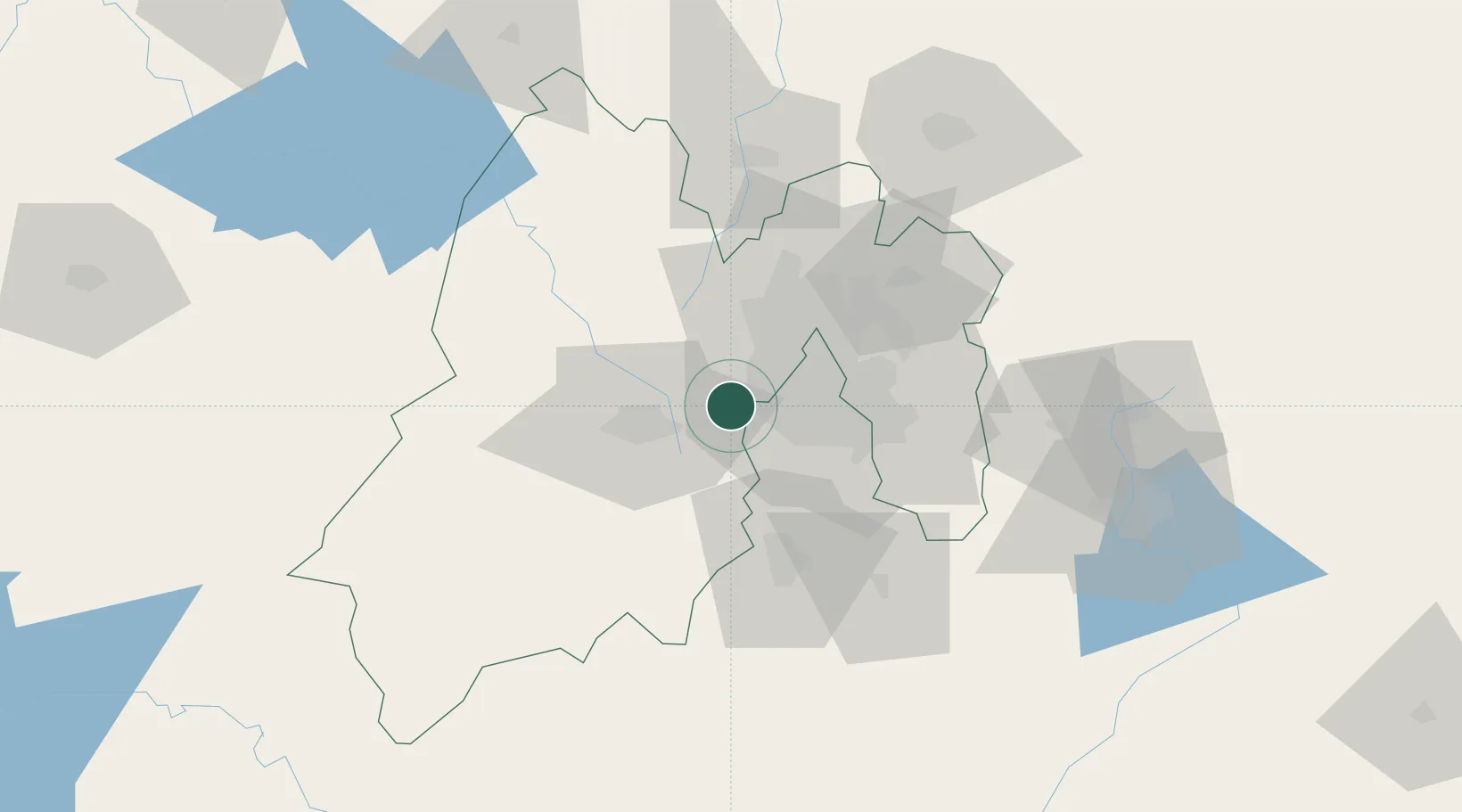
19.3500°, -99.3667°
9,554
Population
2
Transport functions

Transport Functions

Rail
Road
UN/LOCODE

Hub Profile

Place type
Provincial seat
GeoNames
Region
México
GeoNames
Population
9,554
GeoNames
Time zone
America/Mexico_City
GeoNames
Elevation
2,712 m
GeoNames

Location

Location of MXHXD
Natural Earth 10m (public domain) · México · MXHXD · 19.35, -99.37GoogleOSMYandex

Nearby Logistics Neighbours

Cities
  1. 1Ocoyoacac13 km
  2. 2San Pedro Totoltepec22 km
  3. 3Tlalpan22 km
  4. 4Atizapan de Zaragoza26 km
  5. 5Azcapotzalco27 km
Nearest neighbours — logibook spatial index (haversine) over the source coordinates
Ports
  1. 1Tuxpan272 km
  2. 2Acapulco284 km
  3. 3Lazaro Cardenas334 km
  4. 4Veracruz340 km
  5. 5Tampico355 km
Nearest neighbours — logibook spatial index (haversine) over the source coordinates
Airports
  1. 1Helipuerto VZ Flights19 km
  2. 2Adolfo López Mateos International Airport21 km
  3. 3Helipuerto El Universal25 km
  4. 4Mexico City Benito Juárez International Airport33 km
  5. 5Helipuerto Ciudad de México33 km
Nearest neighbours — logibook spatial index (haversine) over the source coordinates
Trade Zones
  1. 1The Special Economic Zone of Lázaro Cárdenas - La Unión335 km
  2. 2Special Economic Zone of Coatzacoalcos530 km
  3. 3Special Economic Zone of Salina Cruz562 km
  4. 4Zona Economica Especial de Tabasco652 km
  5. 5FTZ No. 062 Brownsville761 km
Nearest neighbours — logibook spatial index (haversine) over the source coordinates
DatabookThe Record of Consolidated Knowledge
Mexico beyond logistics?
Browse databook

All Sources

LocationsUN/LOCODE
UN/LOCODE — free
LocationsGeoNames
CC BY 4.0
Portsthe NGA World Port Index
Public domain (US gov)
AirportsOurAirports
Public domain
Trade Zonesthe World Bank SEZ database
CC BY 4.0
Trade ZonesOpen Zone Map
CC BY
← Mexico locations