UN/LOCODE hub · Mexico
MXOYO

Ocoyoacac

19.2667°, -99.4500°
26,015
Population
2
Transport functions

Transport Functions

Rail
Road
UN/LOCODE

Hub Profile

Place type
Provincial seat
GeoNames
Region
México
GeoNames
Population
26,015
GeoNames
Time zone
America/Mexico_City
GeoNames
Elevation
2,597 m
GeoNames

Location

Location of MXOYO
Natural Earth 10m (public domain) · México · MXOYO · 19.27, -99.45GoogleOSMYandex

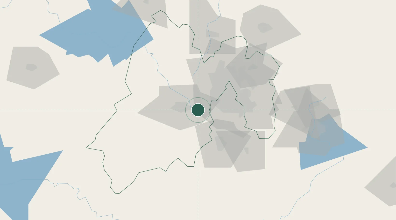
Nearby Logistics Neighbours

Cities
  1. 1Huixquilucan de Degollado13 km
  2. 2San Pedro Totoltepec13 km
  3. 3San Antonio la Isla18 km
  4. 4Zinacantepec30 km
  5. 5Tlalpan30 km
Nearest neighbours — logibook spatial index (haversine) over the source coordinates
Ports
  1. 1Acapulco274 km
  2. 2Tuxpan284 km
  3. 3Lazaro Cardenas322 km
  4. 4Veracruz348 km
  5. 5Tampico367 km
Nearest neighbours — logibook spatial index (haversine) over the source coordinates
Airports
  1. 1Adolfo López Mateos International Airport14 km
  2. 2Helipuerto VZ Flights31 km
  3. 3Helipuerto El Universal37 km
  4. 4Mexico City Benito Juárez International Airport44 km
  5. 5Helipuerto Ciudad de México44 km
Nearest neighbours — logibook spatial index (haversine) over the source coordinates
Trade Zones
  1. 1The Special Economic Zone of Lázaro Cárdenas - La Unión323 km
  2. 2Special Economic Zone of Coatzacoalcos537 km
  3. 3Special Economic Zone of Salina Cruz563 km
  4. 4Zona Economica Especial de Tabasco659 km
  5. 5FTZ No. 062 Brownsville772 km
Nearest neighbours — logibook spatial index (haversine) over the source coordinates
DatabookThe Record of Consolidated Knowledge
Mexico beyond logistics?
Browse databook

All Sources

LocationsUN/LOCODE
UN/LOCODE — free
LocationsGeoNames
CC BY 4.0
Portsthe NGA World Port Index
Public domain (US gov)
AirportsOurAirports
Public domain
Trade Zonesthe World Bank SEZ database
CC BY 4.0
Trade ZonesOpen Zone Map
CC BY
← Mexico locations