Transport Functions
Multimodal
Hub Profile
Place type
Provincial seat
Region
México
Population
54,220
Time zone
America/Mexico_City
Elevation
2,754 m
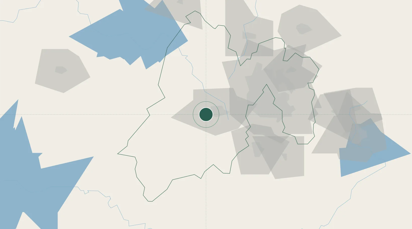
Location
Nearby Logistics Neighbours
Cities
- 1San Pedro Totoltepec18 km
- 2San Antonio la Isla22 km
- 3Ocoyoacac30 km
- 4Santa Cruz Tepexpan34 km
- 5Ixtlahuacan34 km
Ports
- 1Acapulco270 km
- 2Lazaro Cardenas296 km
- 3Tuxpan307 km
- 4Veracruz378 km
- 5Tampico381 km
Airports
Trade Zones
DatabookThe Record of Consolidated Knowledge
Mexico beyond logistics?