UN/LOCODE hub · Mexico
MXSPT

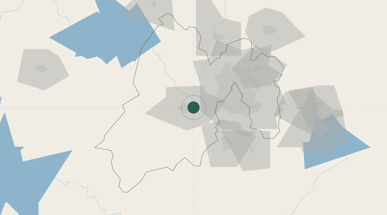
San Pedro Totoltepec

19.3000°, -99.5667°
21,076
Population
1
Transport functions

Transport Functions

Multimodal
UN/LOCODE

Hub Profile

Place type
Populated place
GeoNames
Region
México
GeoNames
Population
21,076
GeoNames
Time zone
America/Mexico_City
GeoNames
Elevation
2,588 m
GeoNames

Location

Location of MXSPT
Natural Earth 10m (public domain) · México · MXSPT · 19.30, -99.57GoogleOSMYandex

Nearby Logistics Neighbours

Cities
  1. 1Ocoyoacac13 km
  2. 2San Antonio la Isla17 km
  3. 3Zinacantepec18 km
  4. 4Huixquilucan de Degollado22 km
  5. 5Santa Cruz Tepexpan33 km
Nearest neighbours — logibook spatial index (haversine) over the source coordinates
Ports
  1. 1Acapulco275 km
  2. 2Tuxpan291 km
  3. 3Lazaro Cardenas313 km
  4. 4Veracruz361 km
  5. 5Tampico369 km
Nearest neighbours — logibook spatial index (haversine) over the source coordinates
Airports
  1. 1Adolfo López Mateos International Airport4 km
  2. 2Helipuerto VZ Flights40 km
  3. 3Helipuerto El Universal46 km
  4. 4Mexico City Benito Juárez International Airport54 km
  5. 5Helipuerto Ciudad de México55 km
Nearest neighbours — logibook spatial index (haversine) over the source coordinates
Trade Zones
  1. 1The Special Economic Zone of Lázaro Cárdenas - La Unión314 km
  2. 2Special Economic Zone of Coatzacoalcos549 km
  3. 3Special Economic Zone of Salina Cruz575 km
  4. 4Zona Economica Especial de Tabasco672 km
  5. 5FTZ No. 062 Brownsville772 km
Nearest neighbours — logibook spatial index (haversine) over the source coordinates
DatabookThe Record of Consolidated Knowledge
Mexico beyond logistics?
Browse databook

All Sources

LocationsUN/LOCODE
UN/LOCODE — free
LocationsGeoNames
CC BY 4.0
Portsthe NGA World Port Index
Public domain (US gov)
AirportsOurAirports
Public domain
Trade Zonesthe World Bank SEZ database
CC BY 4.0
Trade ZonesOpen Zone Map
CC BY
← Mexico locations