Medium airport · Mexico

General Mariano Matamoros International AirportMMCB
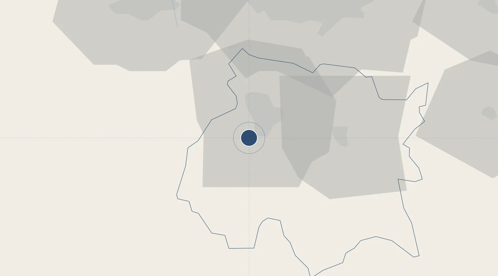
18.8339°, -99.2618°
9,180 ft
Longest runway
1
Runways
4,277 ft
Elevation

Runway & Layout

General Mariano Matamoros International Airport runway & taxiway layout
Runway & taxiway layout — OpenStreetMap (ODbL) / OurAirports

Radio Frequencies

TWR
118.35 MHz
CUERNAVACA TWR
APP
128.9 MHz
TOLUCA APP
OurAirports

Navaids

CVJ VOR-DME Cuernavaca 113.90 MHz
TEQ VOR-DME Tequesquitengo 113.10 MHz
OurAirports

Runways · 1

RunwayDimensions SurfaceTrue headingLit
03/21 9,180 × 148ft Asphalt 031°
OurAirports

Airport Specifications

IATA code
CVJ
OurAirports
ICAO code
MMCB
OurAirports
Airport class
Medium airport
OurAirports
Scheduled service
No
OurAirports
Runway surface
Asphalt
OurAirports
Served city
Temixco
OurAirports

Location

Location of MMCB
Natural Earth 10m (public domain) · Morelos · MMCB · 18.83, -99.26GoogleOSMYandex

Nearby Logistics Neighbours

Airports
  1. 1Adolfo López Mateos International Airport64 km
  2. 2Helipuerto VZ Flights66 km
  3. 3Helipuerto El Universal68 km
  4. 4Helipuerto Ciudad de México70 km
  5. 5Mexico City Benito Juárez International Airport70 km
Nearest neighbours — logibook spatial index (haversine) over the source coordinates
Cities
  1. 1Xochitepec6 km
  2. 2Miacatlan13 km
  3. 3Ahuatepec14 km
  4. 4Xochimancas18 km
  5. 5Jojutla27 km
Nearest neighbours — logibook spatial index (haversine) over the source coordinates
Ports
  1. 1Acapulco232 km
  2. 2Tuxpan305 km
  3. 3Lazaro Cardenas323 km
  4. 4Veracruz331 km
  5. 5Tampico403 km
Nearest neighbours — logibook spatial index (haversine) over the source coordinates
Trade Zones
  1. 1The Special Economic Zone of Lázaro Cárdenas - La Unión323 km
  2. 2Special Economic Zone of Coatzacoalcos508 km
  3. 3Special Economic Zone of Salina Cruz519 km
  4. 4Zona Economica Especial de Tabasco635 km
  5. 5FTZ No. 062 Brownsville814 km
Nearest neighbours — logibook spatial index (haversine) over the source coordinates
DatabookThe Record of Consolidated Knowledge
Mexico beyond logistics?
Browse databook

All Sources

AirportsOurAirports
Public domain
Portsthe NGA World Port Index
Public domain (US gov)
LocationsUN/LOCODE
UN/LOCODE — free
Trade Zonesthe World Bank SEZ database
CC BY 4.0
Trade ZonesOpen Zone Map
CC BY
InfrastructureOpenStreetMap
ODbL 1.0
← Mexico airports