Large airport · Mexico

Monterrey International AirportMMMY

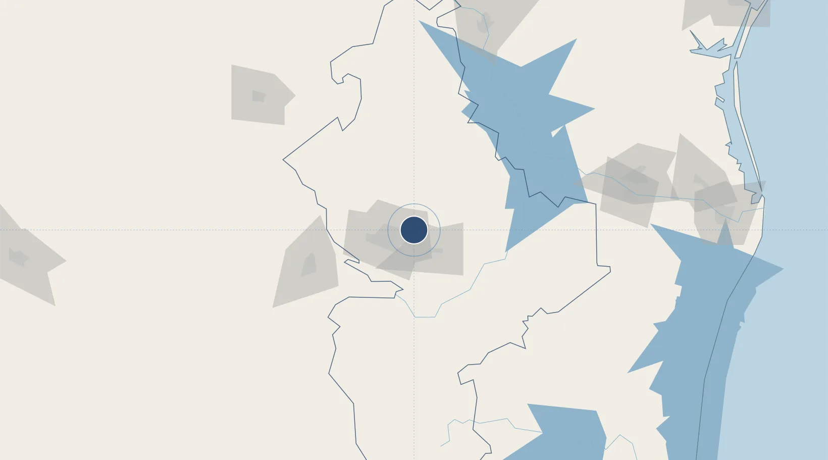
25.7785°, -100.1070°
9,843 ft
Longest runway
2
Runways
1,278 ft
Elevation

Runway & Layout

Monterrey International Airport runway & taxiway layout
Runway & taxiway layout — OpenStreetMap (ODbL) / OurAirports

Radio Frequencies

ATIS
127.7 MHz
TWR
118.1 MHz
MONTERREY TWR
GND
121.9 MHz
APP
119.75 MHz
MONTERREY APP
OurAirports

Navaids

MTY VOR-DME Monterrey 114.70 MHz
OurAirports

Runways · 2

RunwayDimensions SurfaceTrue headingLit
12/30 9,843 × 148ft Asphalt 121°
16/34 5,909 × 98ft Asphalt 165°
OurAirports

Airport Specifications

IATA code
MTY
OurAirports
ICAO code
MMMY
OurAirports
Airport class
Large airport
OurAirports
Scheduled service
Yes
OurAirports
Runway surface
Asphalt
OurAirports
Served city
Monterrey
OurAirports

Location

Location of MMMY
Natural Earth 10m (public domain) · Nuevo León · MMMY · 25.78, -100.11GoogleOSMYandex

Nearby Logistics Neighbours

Airports
  1. 1Del Norte International Airport16 km
  2. 2Plan De Guadalupe International Airport87 km
  3. 3Monclova International Airport189 km
  4. 4General Lucio Blanco International Airport190 km
  5. 5McAllen Miller International Airport192 km
Nearest neighbours — logibook spatial index (haversine) over the source coordinates
Cities
  1. 1San Nicolás de los Garza20 km
  2. 2Cadereyta Jiménez23 km
  3. 3Garza García32 km
  4. 4Villa de García49 km
  5. 5General Terán71 km
Nearest neighbours — logibook spatial index (haversine) over the source coordinates
Ports
  1. 1Brownsville272 km
  2. 2Port Isabel293 km
  3. 3Corpus Christi352 km
  4. 4Port Ingleside368 km
  5. 5Port Aransas380 km
Nearest neighbours — logibook spatial index (haversine) over the source coordinates
Trade Zones
  1. 1FTZ No. 095 Starr County145 km
  2. 2FTZ No. 012 McAllen188 km
  3. 3FTZ No. 094 Laredo207 km
  4. 4FTZ No. 156 Weslaco213 km
  5. 5FTZ No. 157 Casper213 km
Nearest neighbours — logibook spatial index (haversine) over the source coordinates
DatabookThe Record of Consolidated Knowledge
Mexico beyond logistics?
Browse databook

All Sources

AirportsOurAirports
Public domain
Portsthe NGA World Port Index
Public domain (US gov)
LocationsUN/LOCODE
UN/LOCODE — free
Trade Zonesthe World Bank SEZ database
CC BY 4.0
Trade ZonesOpen Zone Map
CC BY
InfrastructureOpenStreetMap
ODbL 1.0
← Mexico airports